MapPlanner
3.741mi
Distance
1h16m
Duration
+364ft
Elevation gain
-361ft
Elevation loss
Easy
Level

Randonnée 6km

Route details

2.95mph
Speed
548 kcal
Calories burned
3.7%
Avg grade
Loop trail
Route type
328ft
Min altitude
561ft
Max altitude

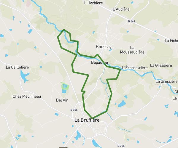
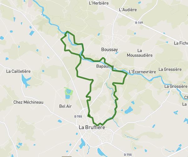
This hiking trail covers 3.741mi starting from Les Herbiers, Vendée. The hike is a loop trail and returns to the trailhead. This hike is rated as easy, plan for about 1h16m to complete it. The route has an elevation gain of 364ft and an elevation loss of 361ft.

Route profile

364ft
Elevation gain
361ft
Elevation loss
328ft
Min altitude
561ft
Max altitude

How to get there

Trailhead: Rue De La Noue, 85500 Les Herbiers

GPS coordinates of the trailhead: 46.87764, -1.02494 / 46°52'39'' N, 1°1'29'' W

Caution: May Cross Private Property

This route may pass through or near private property. Always respect posted signs, obtain permission where required, and follow local trespassing laws. MapPlanner does not guarantee public access along any route.

Safety Notice

Trail and road conditions may change without notice due to weather, construction, or other factors. Always verify current conditions before heading out. You are responsible for your own safety — follow local signage, obey traffic laws, and use your best judgment on the trail.