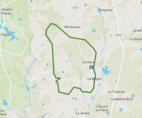
This running route covers 2.273mi starting from Limoges, Haute-Vienne. The run is a loop trail and returns to the trailhead. This run is rated as easy, expect about 22m to complete it. The route has an elevation gain of 194ft and an elevation loss of 200ft.
course 3,5km
Route details
6.2mph
Speed
252 kcal
Calories burned
Loop trail
Route type
709ft
Min altitude
814ft
Max altitude
Route profile
194ft
Elevation gain
200ft
Elevation loss
709ft
Min altitude
814ft
Max altitude
How to get there
Trailhead: 2 Boulevard Saint-Maurice, 87000 Limoges, France
GPS coordinates of the trailhead: 45.83034, 1.26798 / 45°49'49'' N, 1°16'4'' E