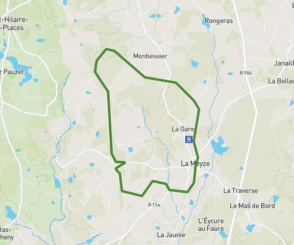
This running route covers 14.677mi starting from Saint-Priest-Ligoure, Haute-Vienne. The run is a loop trail and returns to the trailhead. This run is rated as strenuous, expect about 1h29m to complete it. The route has an elevation gain of 1348ft and an elevation loss of 1345ft.
vélo
Route details
9.89mph
Speed
1018 kcal
Calories burned
Loop trail
Route type
948ft
Min altitude
1444ft
Max altitude
Route profile
1348ft
Elevation gain
1345ft
Elevation loss
948ft
Min altitude
1444ft
Max altitude
How to get there
Trailhead: Chemin De La Ligoure, 87800 Saint-Priest-Ligoure
GPS coordinates of the trailhead: 45.65275, 1.30568 / 45°39'9'' N, 1°18'20'' E