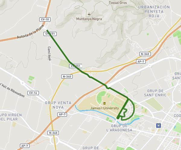
This running route covers 6.263mi starting from Benicasim, Castellón. The run is a loop trail and returns to the trailhead. This run is rated as moderate, expect about 1h7m to complete it. The route has an elevation gain of 285ft and an elevation loss of 285ft.
10k benicasim
Route details
5.61mph
Speed
766 kcal
Calories burned
Loop trail
Route type
0ft
Min altitude
49ft
Max altitude
Route profile
285ft
Elevation gain
285ft
Elevation loss
0ft
Min altitude
49ft
Max altitude
How to get there
Trailhead: Avinguda De Ferrandis Salvador 28, 12560 Benicasim, Castellón, Spain
GPS coordinates of the trailhead: 40.046682, 0.065456 / 40°2'48'' N, 0°3'55'' E