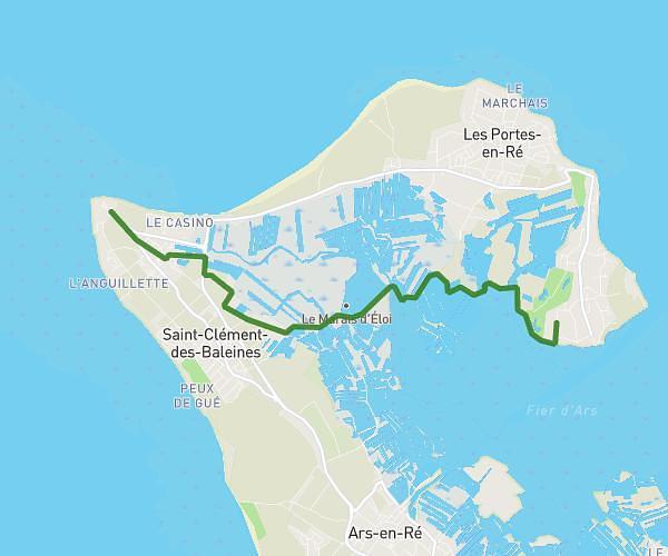
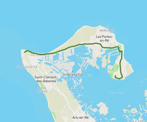
This cycling route covers 1.644mi starting from Les Portes-en-Ré, Charente-Maritime. The ride does not return to the trailhead and ends near Route Du Roc, 17880 Les Portes-en-Ré, France. This route is rated as easy, plan for about 10m to complete it. The route has an elevation gain of 39ft and an elevation loss of 46ft.
Marais du Roc
Route details
88 kcal
Calories burned
1.0%
Avg grade
Point to point
Route type
-3ft
Min altitude
10ft
Max altitude
Route profile
39ft
Elevation gain
46ft
Elevation loss
-3ft
Min altitude
10ft
Max altitude
How to get there
Trailhead: 22 Route Du Champ Cloppé, 17880 Les Portes-en-Ré, France
GPS coordinates of the trailhead: 46.23047, -1.488358 / 46°13'49'' N, 1°29'18'' W