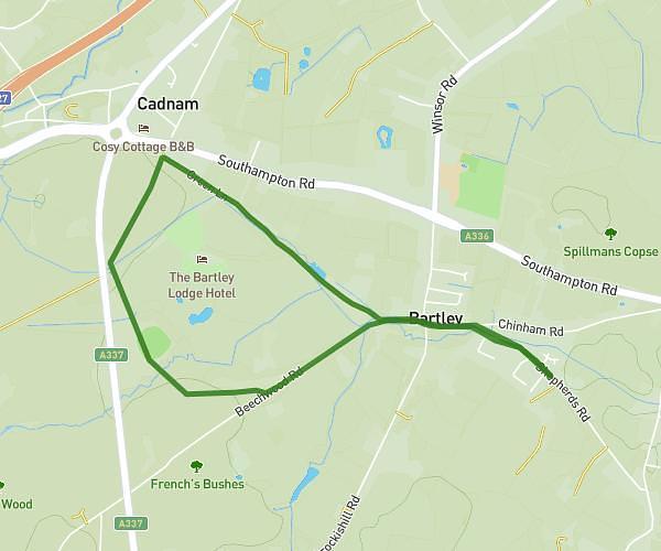
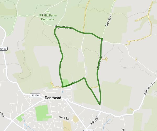
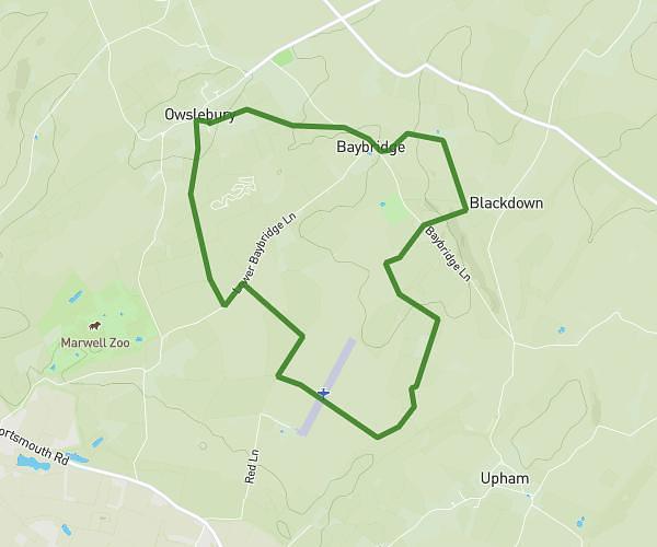
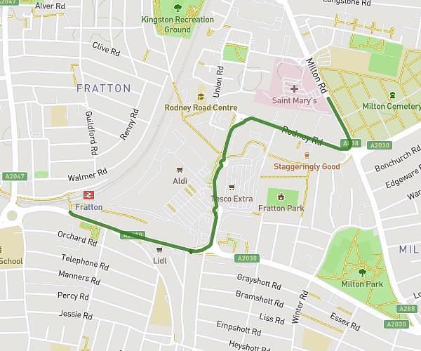
This walking route covers 6.441mi starting from Fareham, England. The walk is a loop trail and returns to the trailhead. This walk is rated as hard, plan for about 1h30m to complete it. The route has an elevation gain of 305ft and an elevation loss of 305ft.
Long Gus Walk
Route details
13:58/mi
Pace
368 kcal
Calories burned
Loop trail
Route type
-13ft
Min altitude
72ft
Max altitude
Route profile
305ft
Elevation gain
305ft
Elevation loss
-13ft
Min altitude
72ft
Max altitude
How to get there
Trailhead: 155 Gordon Road, Fareham, PO16 7TB, United Kingdom
GPS coordinates of the trailhead: 50.854011, -1.189638 / 50°51'14'' N, 1°11'22'' W