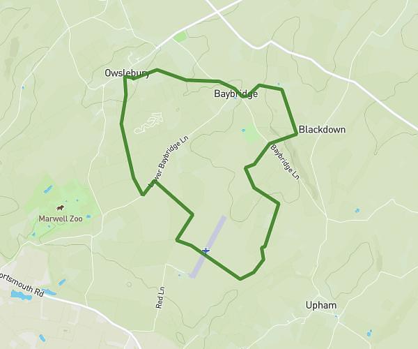
This walking route covers 2.582mi starting from Southampton, England. The walk is a loop trail and returns to the trailhead. This walk is rated as easy, plan for about 55m to complete it. The route has an elevation gain of 154ft and an elevation loss of 154ft.
Cricket to beechwood
Route details
21:19/mi
Pace
225 kcal
Calories burned
Loop trail
Route type
69ft
Min altitude
154ft
Max altitude
Route profile
154ft
Elevation gain
154ft
Elevation loss
69ft
Min altitude
154ft
Max altitude
How to get there
Trailhead: 52 Shepherds Close, Bartley, Southampton, SO40 2LJ, United Kingdom
GPS coordinates of the trailhead: 50.912641, -1.559084 / 50°54'45'' N, 1°33'32'' W