MapPlanner
8.604mi
Distance
52m
Duration
9.93mph
Speed
+1348ft
Elevation gain
-1352ft
Elevation loss
Hard
Level

Arbois festival rando

Route details

473 kcal
Calories burned
5.9%
Avg grade
Loop trail
Route type
869ft
Min altitude
1824ft
Max altitude
Steep climb

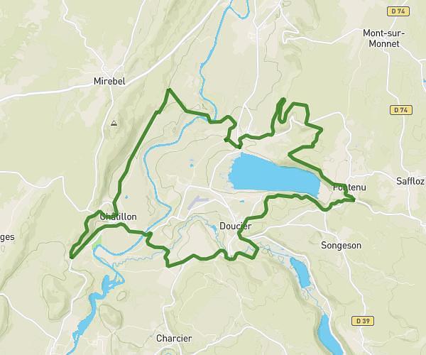
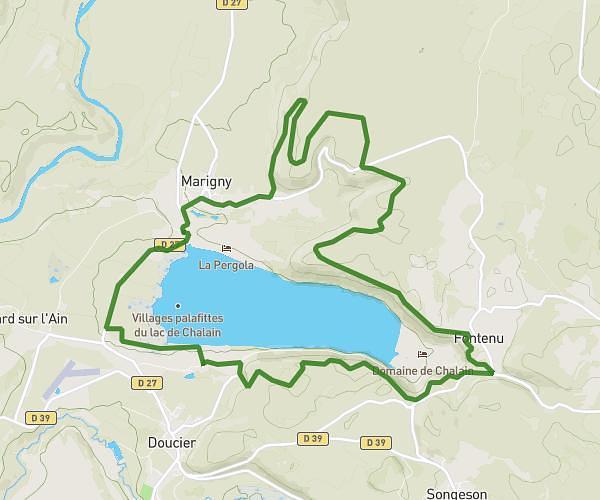
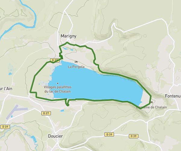
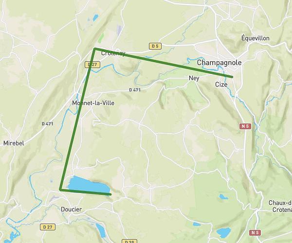
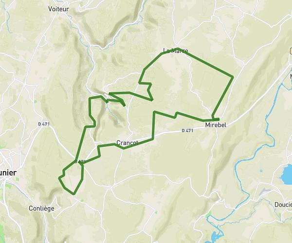
This cycling route covers 8.604mi starting from Arbois, Jura. The ride is a loop trail and returns to the trailhead. This route is rated as hard, plan for about 52m to complete it. The route has an elevation gain of 1348ft and an elevation loss of 1352ft.

Route profile

1348ft
Elevation gain
1352ft
Elevation loss
869ft
Min altitude
1824ft
Max altitude

How to get there

Trailhead: 3 Route De Villeneuve, 39600 Arbois, France

GPS coordinates of the trailhead: 46.913247, 5.767923 / 46°54'47'' N, 5°46'4'' E

Caution: May Cross Private Property

This route may pass through or near private property. Always respect posted signs, obtain permission where required, and follow local trespassing laws. MapPlanner does not guarantee public access along any route.

Safety Notice

Trail and road conditions may change without notice due to weather, construction, or other factors. Always verify current conditions before heading out. You are responsible for your own safety — follow local signage, obey traffic laws, and use your best judgment on the trail.