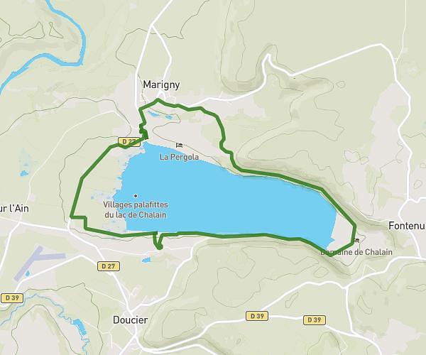
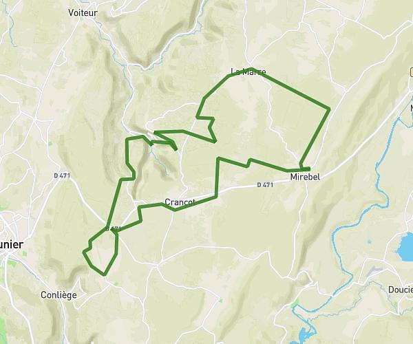
This cycling route covers 14.864mi starting from Hauteroche, Jura. The ride is a loop trail and returns to the trailhead. This route is rated as moderate, plan for about 1h30m to complete it. The route has an elevation gain of 499ft and an elevation loss of 679ft.
Chalain côté route
Route details
795 kcal
Calories burned
1.5%
Avg grade
Loop trail
Route type
1539ft
Min altitude
2113ft
Max altitude
Route profile
499ft
Elevation gain
679ft
Elevation loss
1539ft
Min altitude
2113ft
Max altitude
How to get there
Trailhead: Grande Rue, 39570 Hauteroche
GPS coordinates of the trailhead: 46.69959, 5.72905 / 46°41'58'' N, 5°43'44'' E