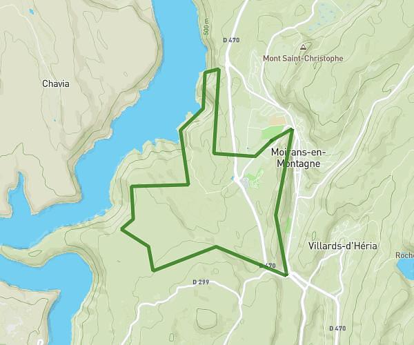
This walking route covers 5.937mi starting from Prémanon, Jura. The walk does not return to the trailhead and ends near Route De La Faucille, 39220 La Rippe. This walk is rated as hard, plan for about 2h7m to complete it. The route has an elevation gain of 1998ft and an elevation loss of 1693ft.
La Dole
Route details
21:25/mi
Pace
519 kcal
Calories burned
Point to point
Route type
4081ft
Min altitude
5476ft
Max altitude
Route profile
1998ft
Elevation gain
1693ft
Elevation loss
4081ft
Min altitude
5476ft
Max altitude
How to get there
Trailhead: Route De La Faucille, 39220 Prémanon
GPS coordinates of the trailhead: 46.43216, 6.07412 / 46°25'55'' N, 6°4'26'' E