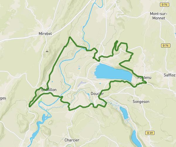
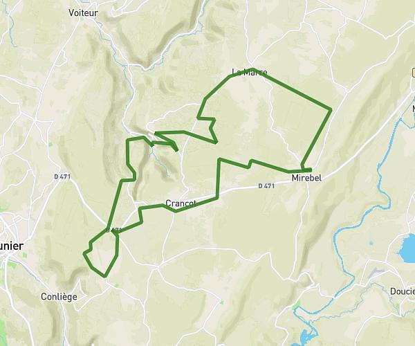
This cycling route covers 8.292mi starting from Mesnois, Jura. The ride does not return to the trailhead and ends near Chemin De Verges, 39570 Hauteroche, France. This route is rated as easy, plan for about 50m to complete it. The route has an elevation gain of 479ft and an elevation loss of 23ft.
Mesnois - Mirebel
Route details
444 kcal
Calories burned
1.1%
Avg grade
Point to point
Route type
1483ft
Min altitude
1939ft
Max altitude
Route profile
479ft
Elevation gain
23ft
Elevation loss
1483ft
Min altitude
1939ft
Max altitude
How to get there
Trailhead: 23 Grande Rue, 39130 Mesnois, France
GPS coordinates of the trailhead: 46.60237, 5.68793 / 46°36'8'' N, 5°41'16'' E