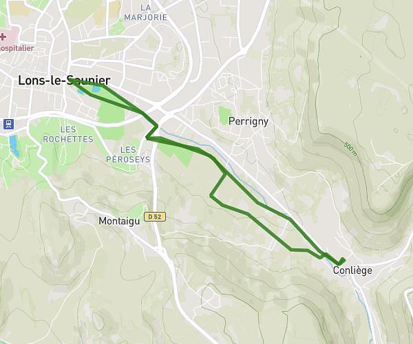
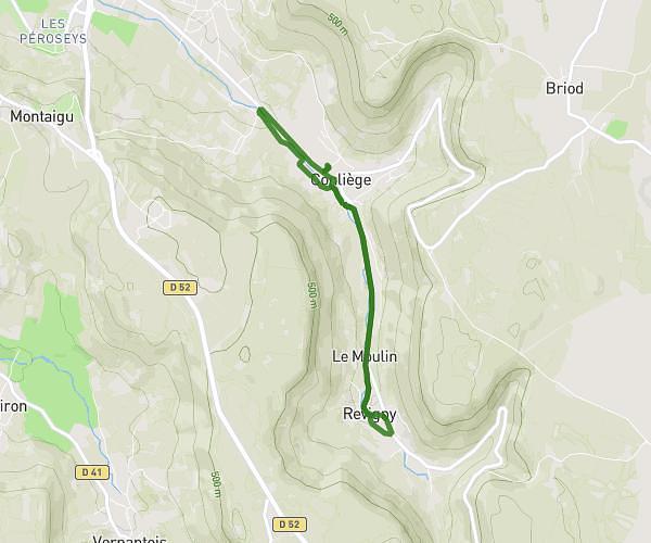
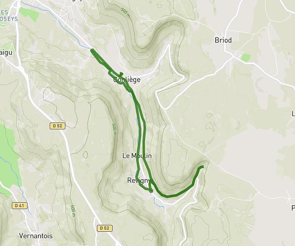
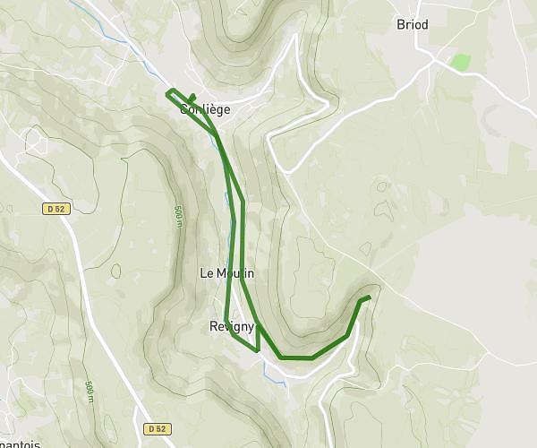
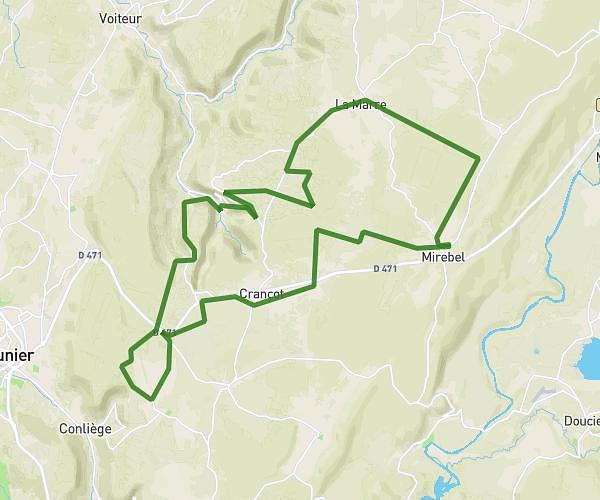
This cycling route covers 20.813mi starting from Hauteroche, Jura. The ride does not return to the trailhead and ends near 1 Rue De La Fontaine, 39130 Mesnois, France. This route is rated as strenuous, plan for about 2h13m to complete it. The route has an elevation gain of 1175ft and an elevation loss of 1549ft.
Mirebel -Mesnois
Route details
1189 kcal
Calories burned
2.5%
Avg grade
Point to point
Route type
1480ft
Min altitude
2070ft
Max altitude
Route profile
1175ft
Elevation gain
1549ft
Elevation loss
1480ft
Min altitude
2070ft
Max altitude
How to get there
Trailhead: 66 Rue De La Barette, 39570 Hauteroche, France
GPS coordinates of the trailhead: 46.69988, 5.72837 / 46°41'59'' N, 5°43'42'' E