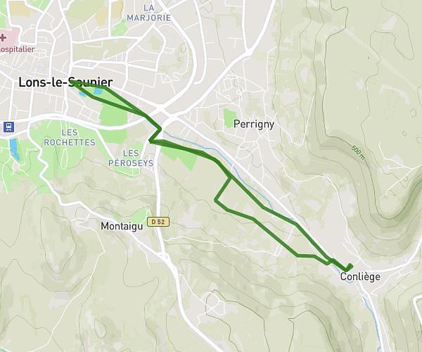
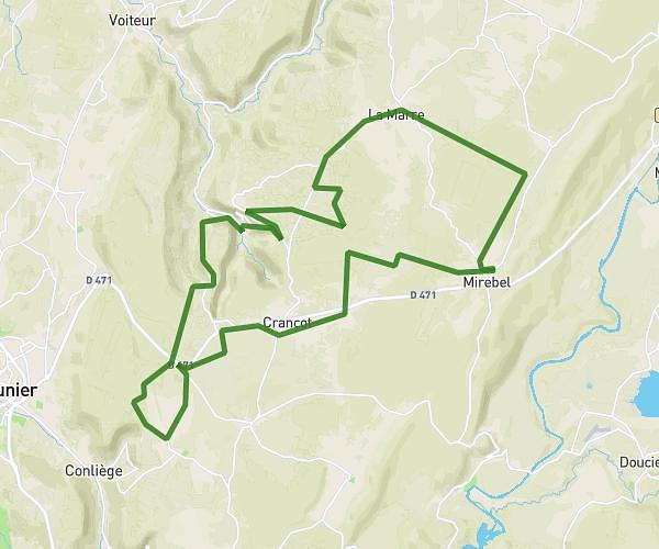
This cycling route covers 13.366mi starting from Hauteroche, Jura. The ride is a loop trail and returns to the trailhead. This route is rated as moderate, plan for about 1h26m to complete it. The route has an elevation gain of 400ft and an elevation loss of 417ft.
Mirebel verges crancot
Route details
758 kcal
Calories burned
1.2%
Avg grade
Loop trail
Route type
1693ft
Min altitude
2100ft
Max altitude
Route profile
400ft
Elevation gain
417ft
Elevation loss
1693ft
Min altitude
2100ft
Max altitude
How to get there
Trailhead: 16 Rue Du Viseney, 39570 Hauteroche, France
GPS coordinates of the trailhead: 46.69656, 5.72627 / 46°41'47'' N, 5°43'34'' E