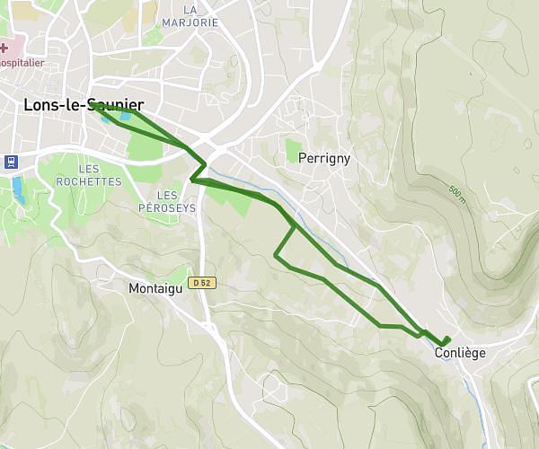
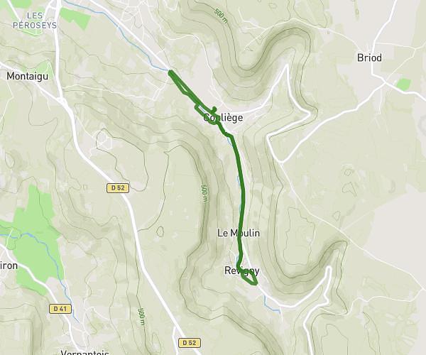
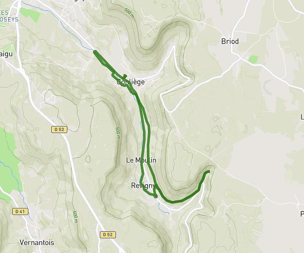
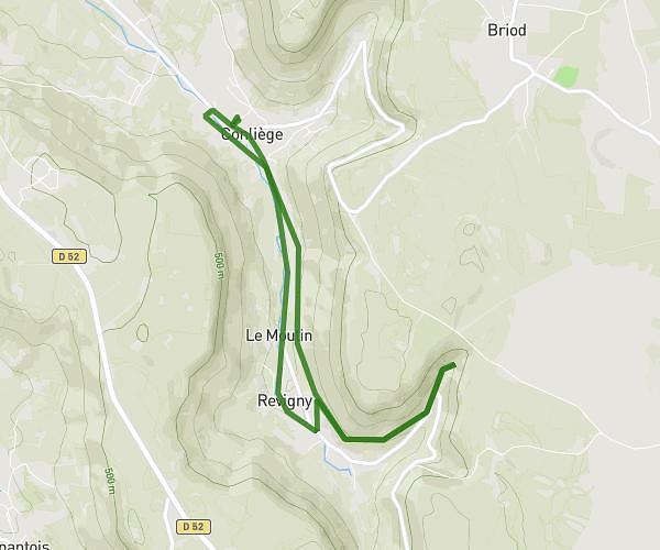
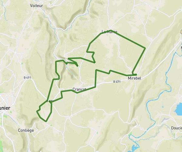
This cycling route covers 13.041mi starting from Moirans-en-Montagne, Jura. The ride is a loop trail and returns to the trailhead. This route is rated as strenuous, plan for about 1h44m to complete it. The route has an elevation gain of 1588ft and an elevation loss of 1631ft.
Moirans 2
Route details
946 kcal
Calories burned
4.7%
Avg grade
Loop trail
Route type
1437ft
Min altitude
2411ft
Max altitude
Route profile
1588ft
Elevation gain
1631ft
Elevation loss
1437ft
Min altitude
2411ft
Max altitude
How to get there
Trailhead: Route De La Grange Au Gui, 39260 Moirans-en-Montagne
GPS coordinates of the trailhead: 46.43317, 5.72055 / 46°25'59'' N, 5°43'13'' E