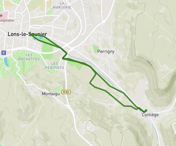
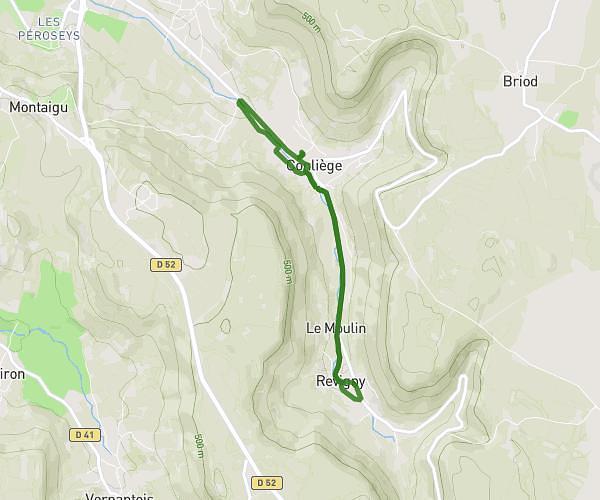
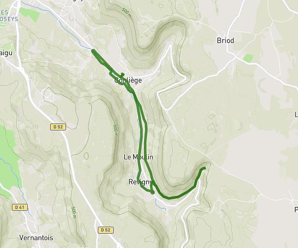
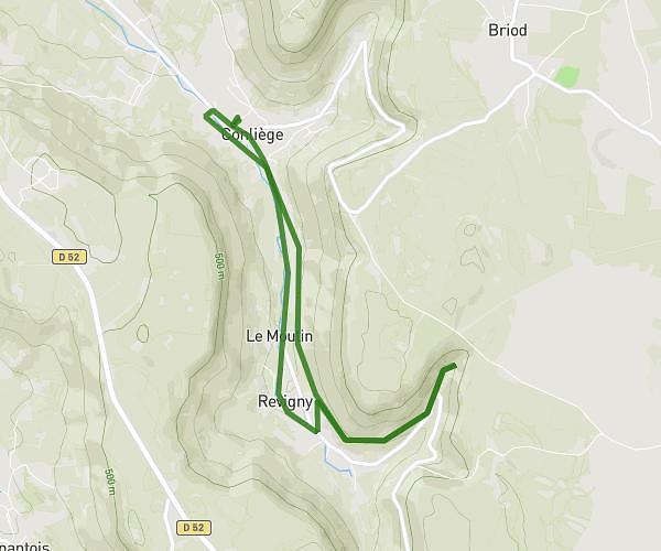
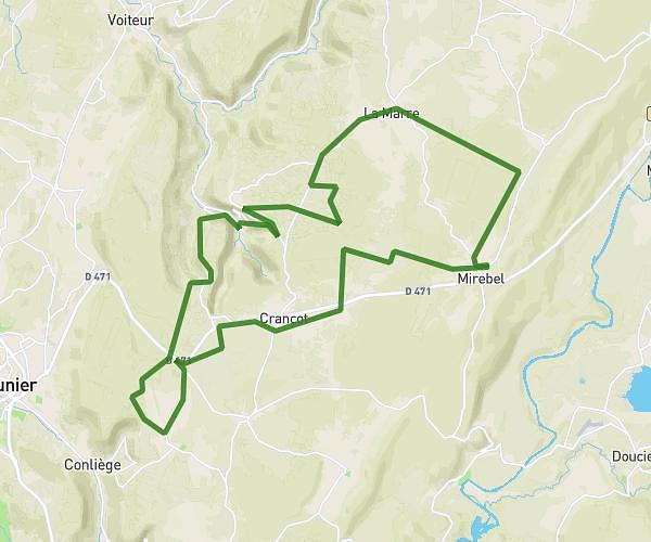
This cycling route covers 10.087mi starting from Lons-le-Saunier, Jura. The ride is a loop trail and returns to the trailhead. This route is rated as strenuous, plan for about 1h1m to complete it. The route has an elevation gain of 1860ft and an elevation loss of 1860ft.
Montciel gevingey messia
Route details
559 kcal
Calories burned
7.0%
Avg grade
Loop trail
Route type
797ft
Min altitude
1578ft
Max altitude
Steep climb
Route profile
1860ft
Elevation gain
1860ft
Elevation loss
797ft
Min altitude
1578ft
Max altitude
How to get there
Trailhead: Chemin De Montciel, 39000 Lons-le-Saunier, France
GPS coordinates of the trailhead: 46.666977, 5.53762 / 46°40'1'' N, 5°32'15'' E