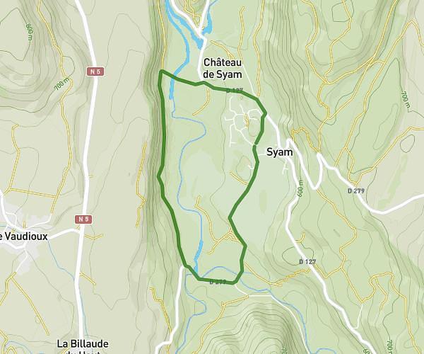
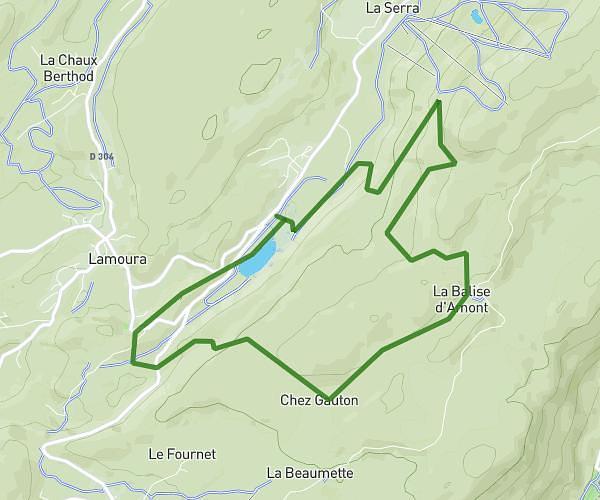
This running route covers 5.837mi starting from Chamole, Jura. The run is a loop trail and returns to the trailhead. This run is rated as moderate, expect about 56m to complete it. The route has an elevation gain of 66ft and an elevation loss of 59ft.
Par éolien Chamole
Route details
6.25mph
Speed
640 kcal
Calories burned
Loop trail
Route type
1883ft
Min altitude
1949ft
Max altitude
Route profile
66ft
Elevation gain
59ft
Elevation loss
1883ft
Min altitude
1949ft
Max altitude
How to get there
Trailhead: 39800 Chamole
GPS coordinates of the trailhead: 46.84971, 5.74452 / 46°50'58'' N, 5°44'40'' E