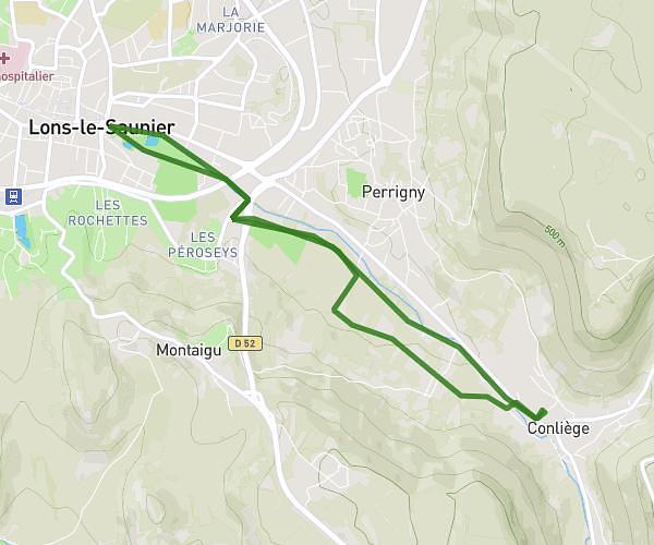
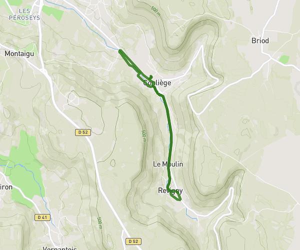
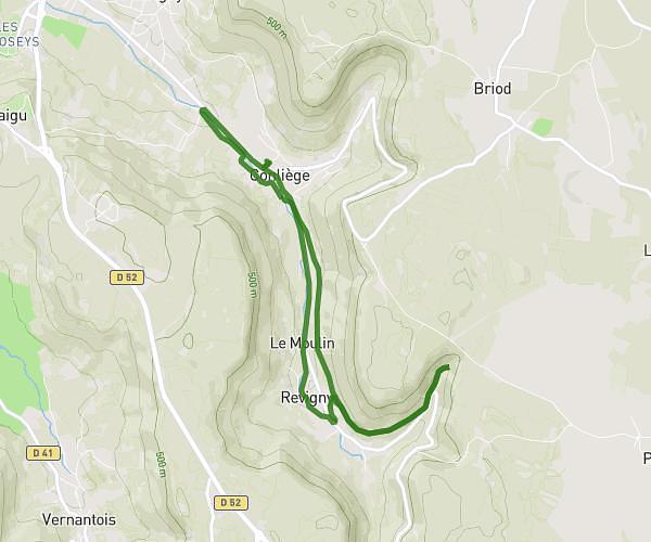
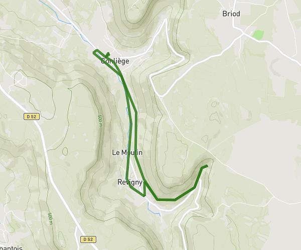
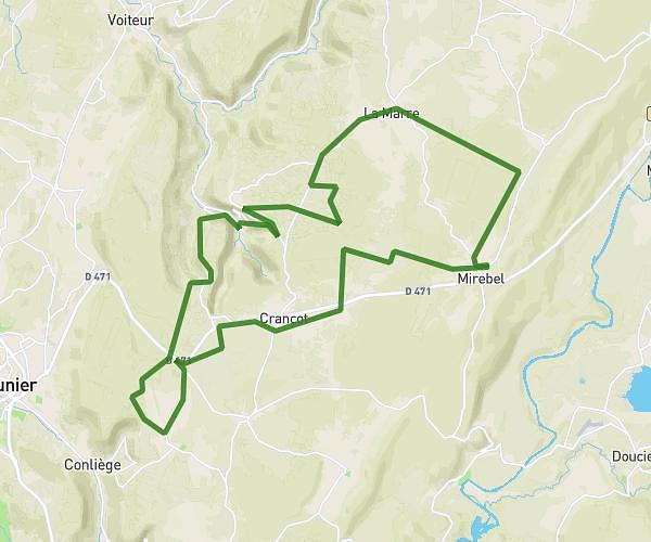
This cycling route covers 43.597mi starting from Doucier, Jura. The ride is a loop trail and returns to the trailhead. This route is rated as strenuous, plan for about 5h30m to complete it. The route has an elevation gain of 2523ft and an elevation loss of 2589ft.
VTT chalain baume Châtillon
Route details
2930 kcal
Calories burned
2.2%
Avg grade
Loop trail
Route type
991ft
Min altitude
2080ft
Max altitude
Route profile
2523ft
Elevation gain
2589ft
Elevation loss
991ft
Min altitude
2080ft
Max altitude
How to get there
Trailhead: Impasse Des Gourmets, 39130 Doucier
GPS coordinates of the trailhead: 46.6549, 5.77961 / 46°39'17'' N, 5°46'46'' E