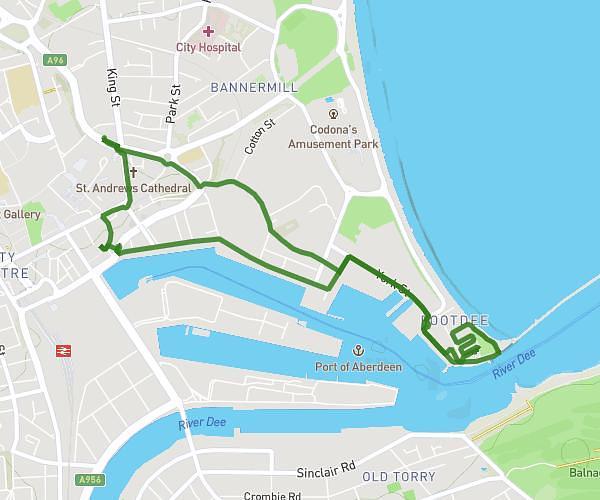
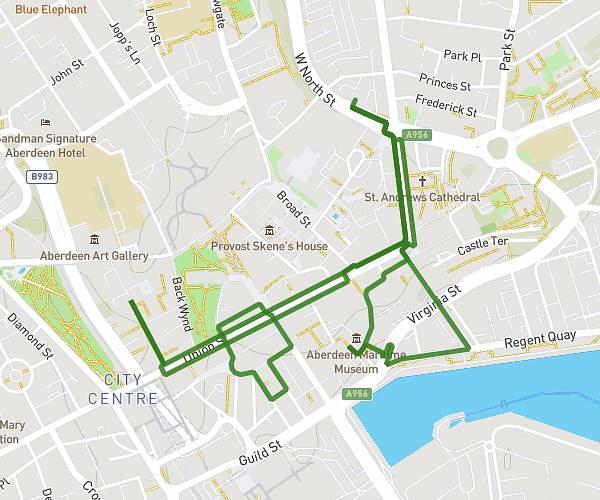
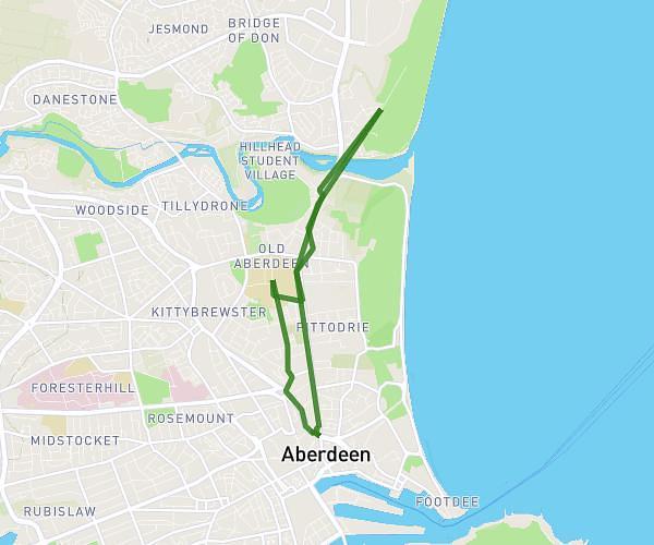
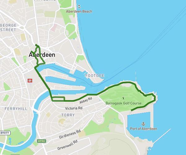
This hiking trail covers 3.505mi starting from Stonehaven, Scotland. The hike is a loop trail and returns to the trailhead. This hike is rated as moderate, plan for about 1h28m to complete it. The route has an elevation gain of 797ft and an elevation loss of 797ft.
Dunottar
Route details
2.39mph
Speed
660 kcal
Calories burned
8.6%
Avg grade
Loop trail
Route type
16ft
Min altitude
217ft
Max altitude
Steep climb
Route profile
797ft
Elevation gain
797ft
Elevation loss
16ft
Min altitude
217ft
Max altitude
How to get there
Trailhead: 17 Market Square, Stonehaven, AB39 2BE, United Kingdom
GPS coordinates of the trailhead: 56.96391, -2.20932 / 56°57'50'' N, 2°12'33'' W