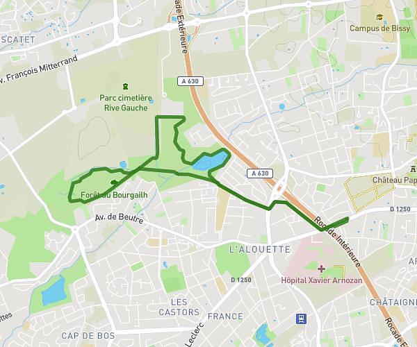
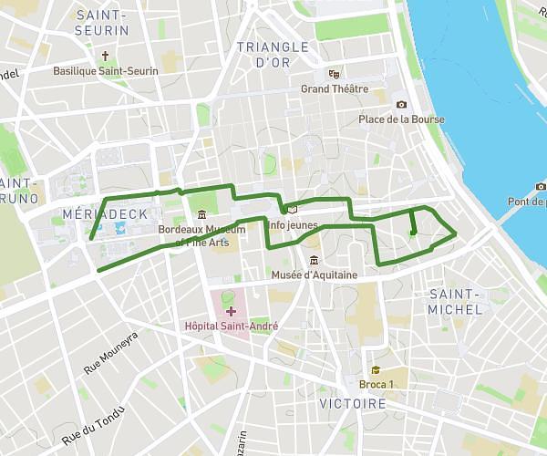
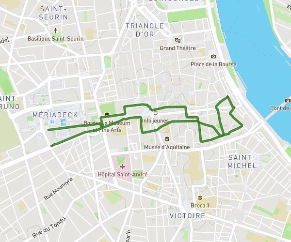
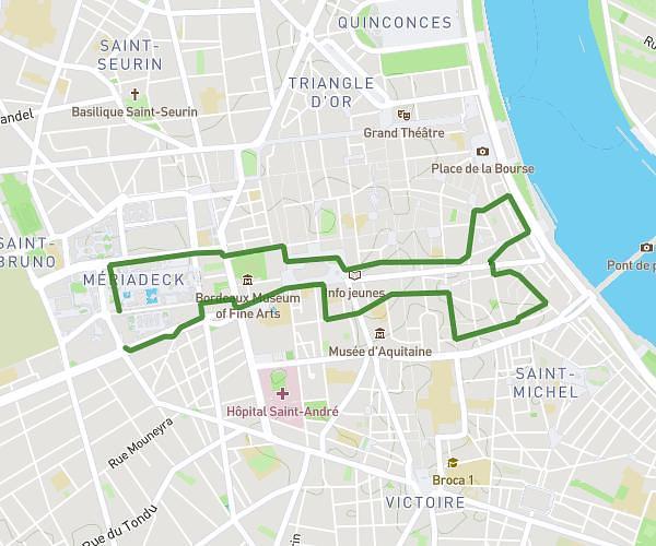
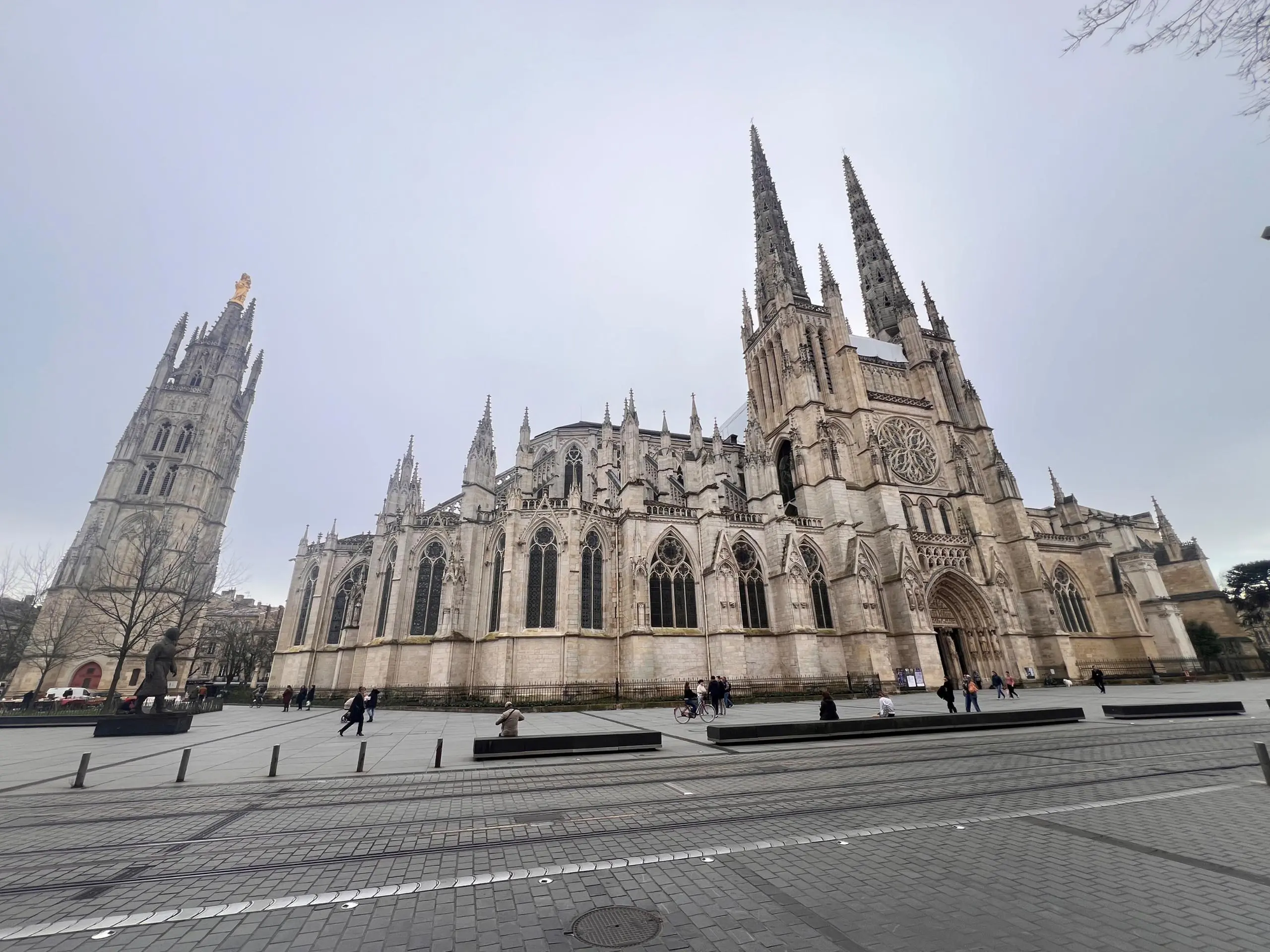
This walking route covers 12.831mi starting from Bègles, Gironde. The walk is a loop trail and returns to the trailhead. This walk is rated as strenuous, plan for about 4h35m to complete it. The route has an elevation gain of 410ft and an elevation loss of 413ft.
La Ferrade Bordeaux
Route details
21:25/mi
Pace
1123 kcal
Calories burned
Loop trail
Route type
0ft
Min altitude
72ft
Max altitude
Route profile
410ft
Elevation gain
413ft
Elevation loss
0ft
Min altitude
72ft
Max altitude
How to get there
Trailhead: Rue Berthelot, 33130 Bègles
GPS coordinates of the trailhead: 44.80788, -0.5669 / 44°48'28'' N, 0°34'0'' W