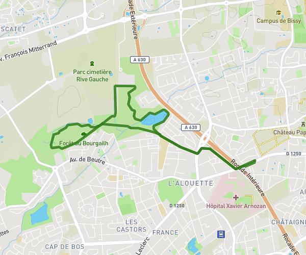
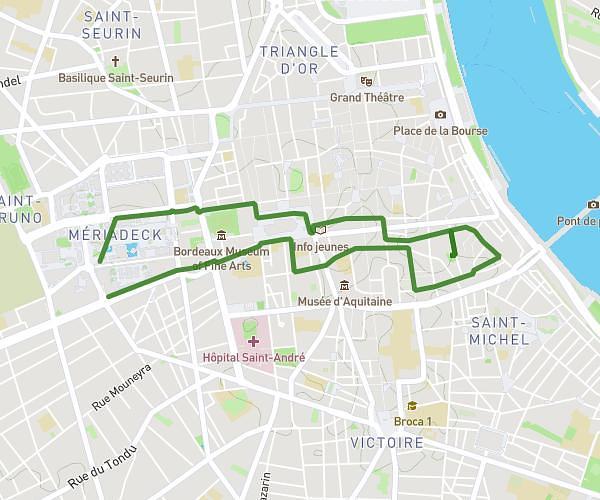
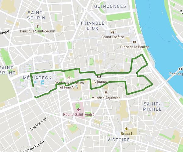
This walking route covers 2.641mi starting from Bordeaux, Gironde. The walk is a loop trail and returns to the trailhead. This walk is rated as easy, plan for about 57m to complete it. The route has an elevation gain of 230ft and an elevation loss of 220ft.
oct rose 4
Route details
21:36/mi
Pace
233 kcal
Calories burned
Loop trail
Route type
30ft
Min altitude
79ft
Max altitude
Route profile
230ft
Elevation gain
220ft
Elevation loss
30ft
Min altitude
79ft
Max altitude
How to get there
Trailhead: 83 Cours Du Maréchal Juin, 33000 Bordeaux, France
GPS coordinates of the trailhead: 44.835233, -0.586008 / 44°50'6'' N, 0°35'9'' W