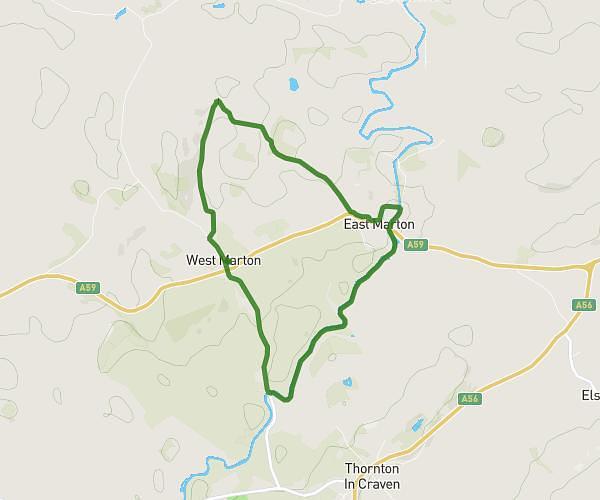
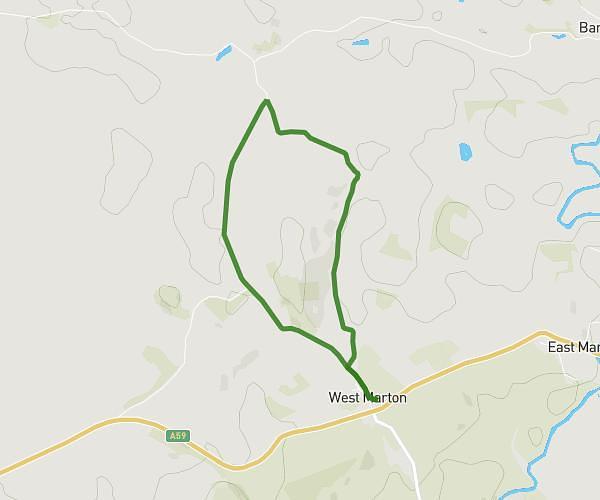
This walking route covers 0.933mi starting from Skipton, England. The walk is a loop trail and returns to the trailhead. This walk is rated as easy, plan for about 22m30s to complete it. The route has an elevation gain of 118ft and an elevation loss of 118ft.
West marton short walk
Route details
24:08/mi
Pace
92 kcal
Calories burned
Loop trail
Route type
499ft
Min altitude
577ft
Max altitude
Route profile
118ft
Elevation gain
118ft
Elevation loss
499ft
Min altitude
577ft
Max altitude
How to get there
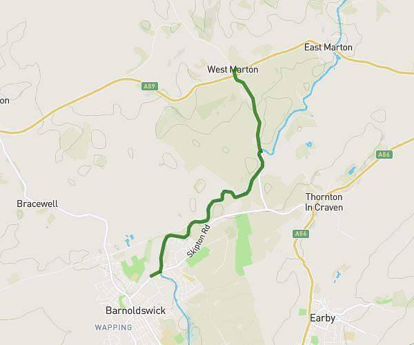
Trailhead: 20 Gledstone Road, West Marton, Skipton, BD23 3UE, United Kingdom
GPS coordinates of the trailhead: 53.950957, -2.163118 / 53°57'3'' N, 2°9'47'' W