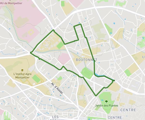
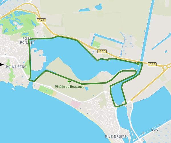
This running route covers 5.631mi starting from La Grande-Motte, Hérault. The run is a loop trail and returns to the trailhead. This run is rated as moderate, expect about 53m to complete it. The route has an elevation gain of 135ft and an elevation loss of 121ft.
Course dominicale
Route details
6.38mph
Speed
606 kcal
Calories burned
Loop trail
Route type
0ft
Min altitude
20ft
Max altitude
Route profile
135ft
Elevation gain
121ft
Elevation loss
0ft
Min altitude
20ft
Max altitude
How to get there
Trailhead: 52 Allée Du Levant, 34280 La Grande-Motte, France
GPS coordinates of the trailhead: 43.55501, 4.09913 / 43°33'18'' N, 4°5'56'' E