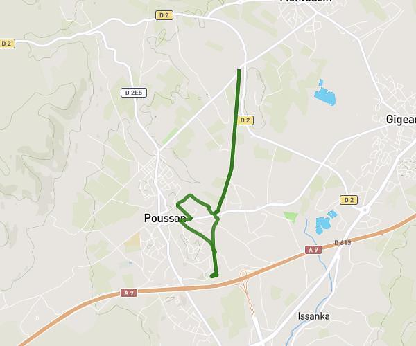
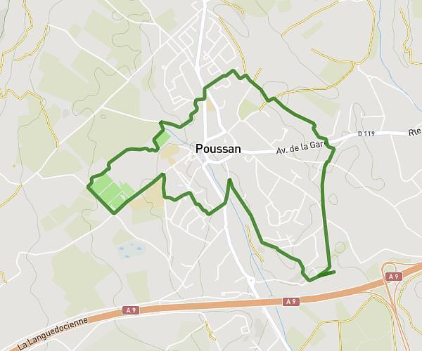
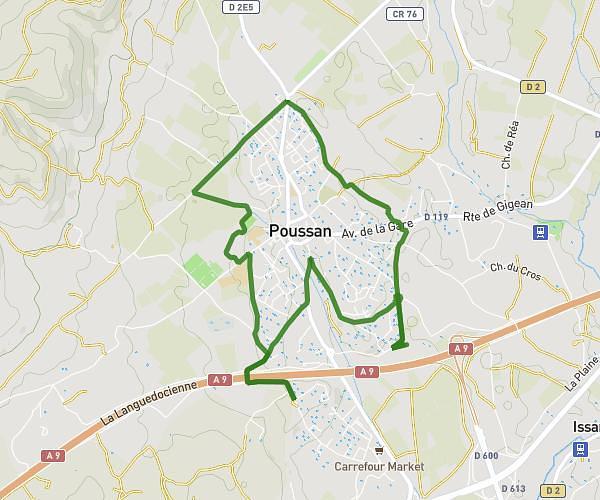
This running route covers 8.364mi starting from Sète, Hérault. The run is a loop trail and returns to the trailhead. This run is rated as hard, expect about 1h19m to complete it. The route has an elevation gain of 49ft and an elevation loss of 49ft.
Course matinale sete
Route details
6.35mph
Speed
903 kcal
Calories burned
Loop trail
Route type
-3ft
Min altitude
16ft
Max altitude
Route profile
49ft
Elevation gain
49ft
Elevation loss
-3ft
Min altitude
16ft
Max altitude
How to get there
Trailhead: Rue Des Capéchades, 34200 Sète
GPS coordinates of the trailhead: 43.41168, 3.65956 / 43°24'42'' N, 3°39'34'' E