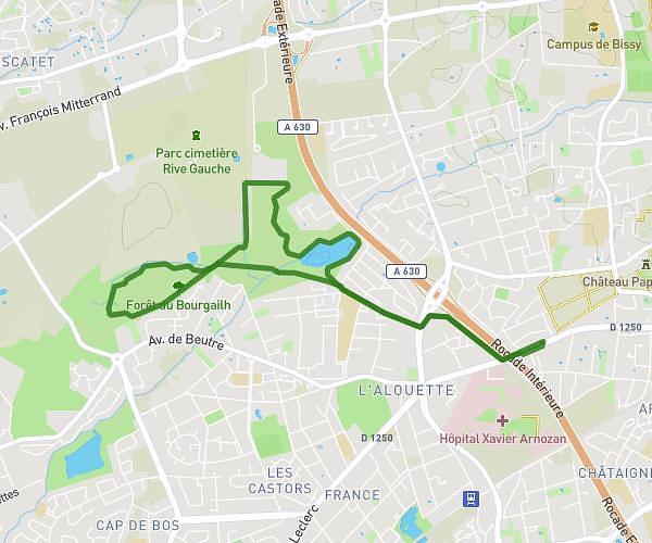
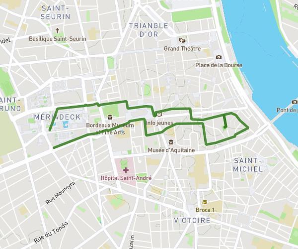
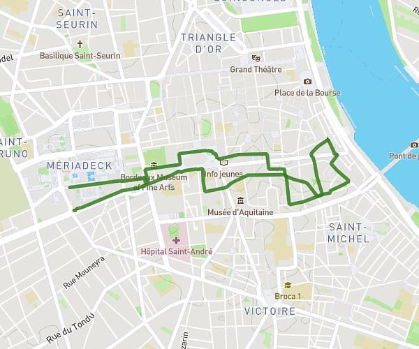
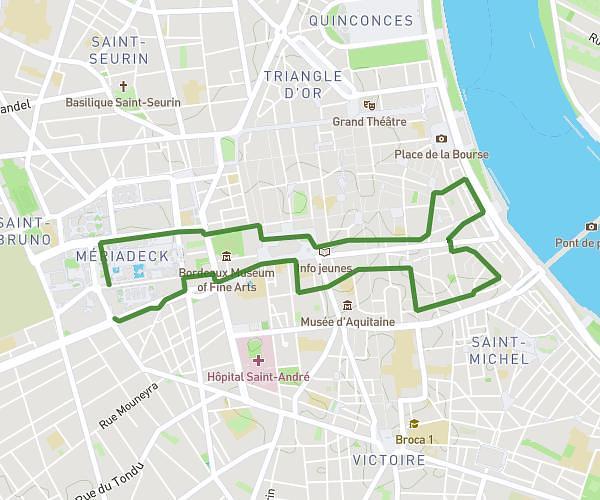
This walking route covers 1.32mi starting from Bordeaux, Gironde. The walk does not return to the trailhead and ends near Quai Des Chartrons, 33300 Bordeaux. This walk is rated as easy, plan for about 28m52s to complete it. The route has an elevation gain of 3ft and an elevation loss of 23ft.
Art et vin
Route details
21:51/mi
Pace
118 kcal
Calories burned
Point to point
Route type
20ft
Min altitude
39ft
Max altitude
Route profile
3ft
Elevation gain
23ft
Elevation loss
20ft
Min altitude
39ft
Max altitude
How to get there
Trailhead: Rue Ferrère, 33000 Bordeaux
GPS coordinates of the trailhead: 44.84814, -0.57204 / 44°50'53'' N, 0°34'19'' W