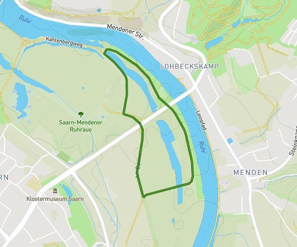
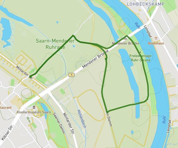
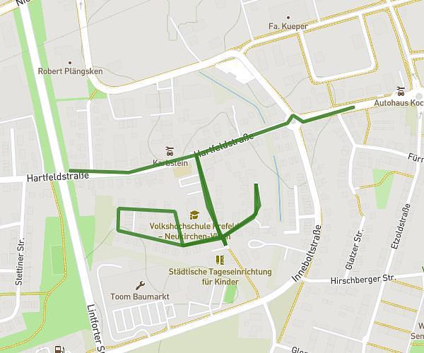
This walking route covers 4.955mi starting from Duisburg, North Rhine-Westphalia. The walk is a loop trail and returns to the trailhead. This walk is rated as moderate, plan for about 1h59m to complete it. The route has an elevation gain of 279ft and an elevation loss of 279ft.
Rundweg Haesen Homberg
Route details
24:08/mi
Pace
488 kcal
Calories burned
Loop trail
Route type
72ft
Min altitude
118ft
Max altitude
Route profile
279ft
Elevation gain
279ft
Elevation loss
72ft
Min altitude
118ft
Max altitude
How to get there
Trailhead: Bismarckplatz 1, 47198 Duisburg, Germany
GPS coordinates of the trailhead: 51.450026, 6.708199 / 51°27'0'' N, 6°42'29'' E