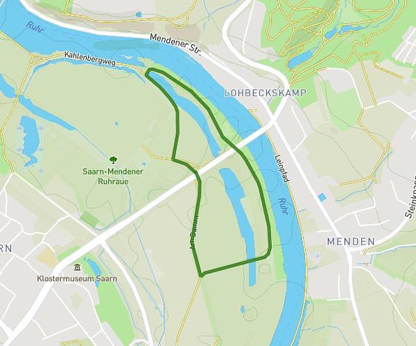
This walking route covers 1.079mi starting from Neukirchen-Vluyn, North Rhine-Westphalia. The walk does not return to the trailhead and ends near Bendschenweg 7, 47506 Neukirchen-Vluyn, Germany. This walk is rated as easy, plan for about 38m14s to complete it. The route has an elevation gain of 43ft and an elevation loss of 49ft.
Teststrecke
Route details
35:22/mi
Pace
156 kcal
Calories burned
Point to point
Route type
92ft
Min altitude
115ft
Max altitude
Route profile
43ft
Elevation gain
49ft
Elevation loss
92ft
Min altitude
115ft
Max altitude
How to get there
Trailhead: Hartfeldstraße 34, 47506 Neukirchen-Vluyn, Germany
GPS coordinates of the trailhead: 51.436763, 6.545528 / 51°26'12'' N, 6°32'43'' E