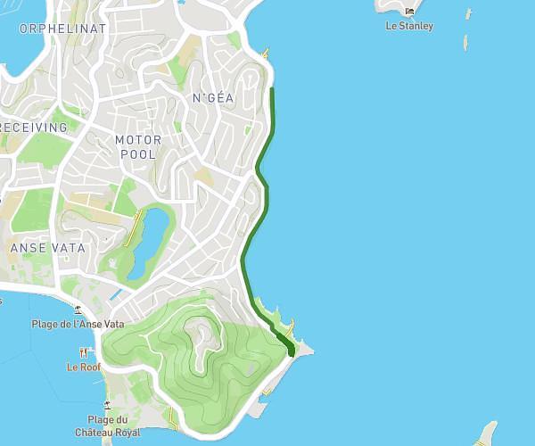
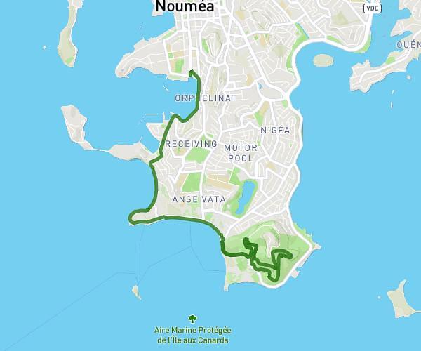
This running route covers 3.473mi starting from Noumea, South Province. The run does not return to the trailhead and ends near Promenade Pierre Vernier, Noumea, New Caledonia. This run is rated as easy, expect about 55m3s to complete it. The route has an elevation gain of 325ft and an elevation loss of 315ft.
Pierre Vernier
Route details
3.78mph
Speed
629 kcal
Calories burned
Point to point
Route type
7ft
Min altitude
56ft
Max altitude
Route profile
325ft
Elevation gain
315ft
Elevation loss
7ft
Min altitude
56ft
Max altitude
How to get there
Trailhead: 112 Promenade Pierre Vernier, Noumea, New Caledonia
GPS coordinates of the trailhead: -22.29082, 166.45918 / 22°17'26'' S, 166°27'33'' E