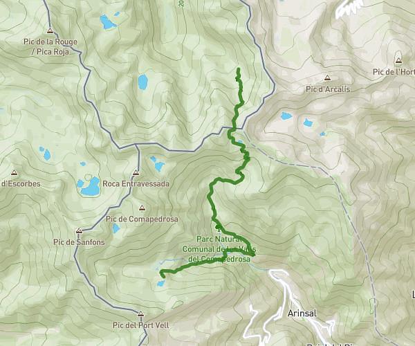
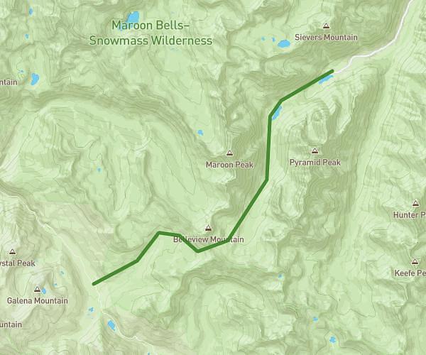
Explore this hiking route of 4,639mi starting from . The hike is a loop and returns to the starting point. This hike has no defined difficulty level, plan for about 4h to complete it. The route has a positive elevation gain of 1821ft and a negative elevation loss of 1821ft.
Autour de vallnord
Route details
Route profile
1821ft
Elevation +
1821ft
Elevation -
7326ft
Min altitude
8366ft
Max altitude
How to get there
Route starting point:
GPS coordinates of the starting point: 42.63167, 1.48146 / 42°37'54'' N, 1°28'53'' E