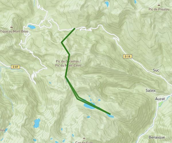
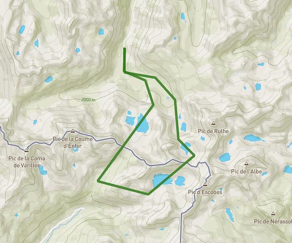
This hiking trail covers 10.172mi starting from Auzat, Ariège. The hike is a loop trail and returns to the trailhead. This hike is rated as strenuous, plan for about 6h to complete it. The route has an elevation gain of 5988ft and an elevation loss of 5935ft.
Cadran solaire
Route details
1.7mph
Speed
2988 kcal
Calories burned
22.2%
Avg grade
Loop trail
Route type
5249ft
Min altitude
9281ft
Max altitude
High altitude
Steep climb
Route profile
5988ft
Elevation gain
5935ft
Elevation loss
5249ft
Min altitude
9281ft
Max altitude
How to get there
Trailhead: D 8, 09220 Auzat, France
GPS coordinates of the trailhead: 42.65716, 1.4465 / 42°39'25'' N, 1°26'47'' E