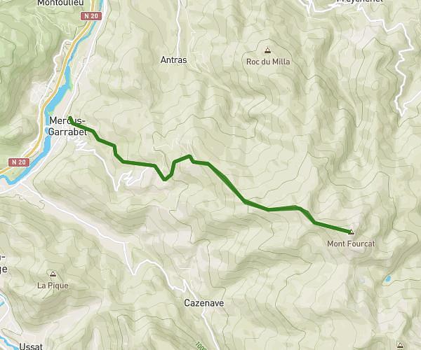
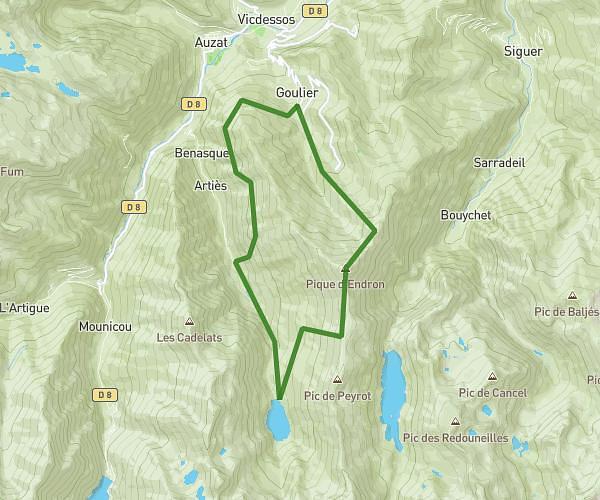
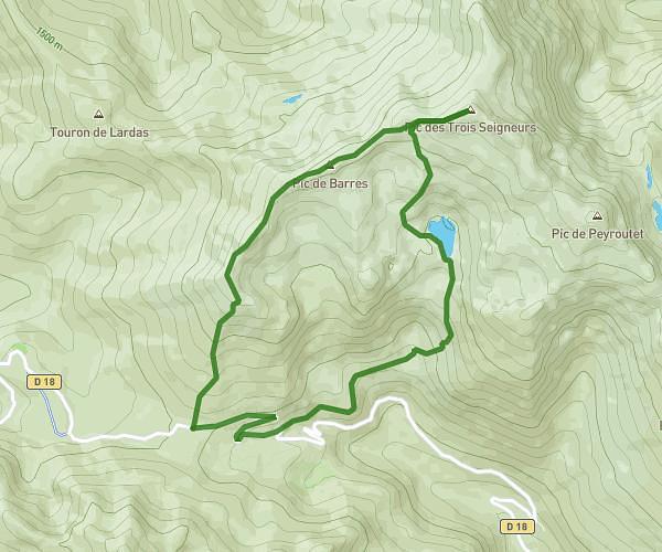
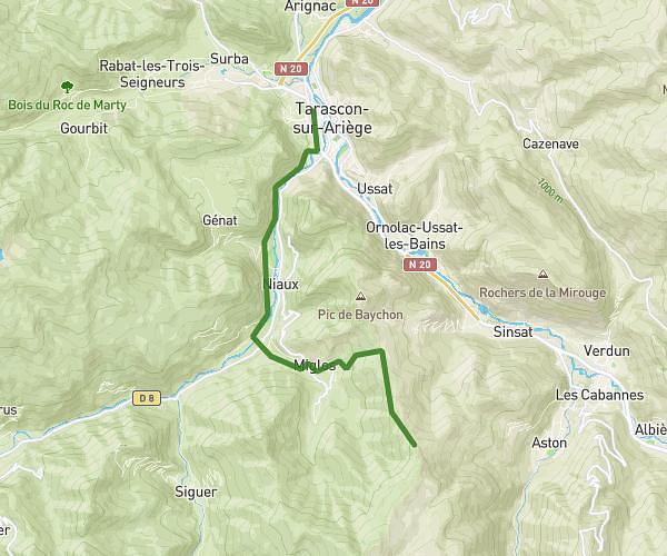
This hiking trail covers 11.833mi starting from Montels, Ariège. The hike is a loop trail and returns to the trailhead. This hike is rated as hard, plan for about 3h30m to complete it. The route has an elevation gain of 1201ft and an elevation loss of 1207ft.
Boucle larbon
Route details
3.38mph
Speed
1517 kcal
Calories burned
3.9%
Avg grade
Loop trail
Route type
1266ft
Min altitude
1978ft
Max altitude
Route profile
1201ft
Elevation gain
1207ft
Elevation loss
1266ft
Min altitude
1978ft
Max altitude
How to get there
Trailhead: 84 La Barraque, 09240 Montels, France
GPS coordinates of the trailhead: 43.01026, 1.4639 / 43°0'36'' N, 1°27'50'' E