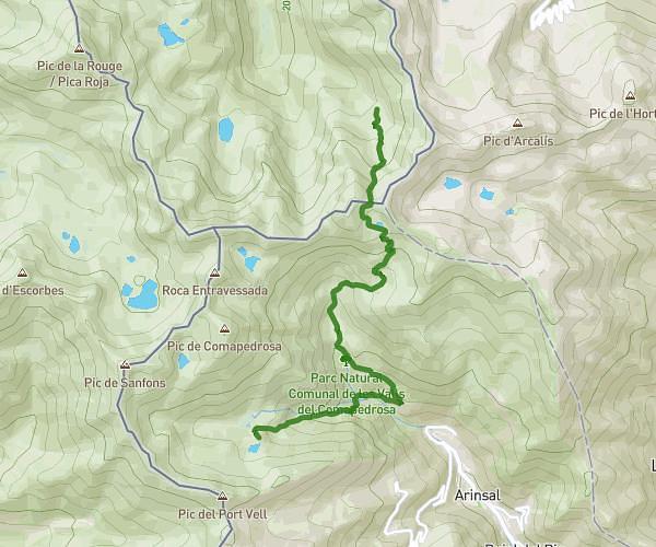
This hiking trail covers 5.728mi starting from . The hike is a loop trail and returns to the trailhead. This hike is rated as strenuous, plan for about 4h to complete it. The route has an elevation gain of 2851ft and an elevation loss of 2848ft.
Tristane
Route details
1.43mph
Speed
1944 kcal
Calories burned
18.8%
Avg grade
Loop trail
Route type
7310ft
Min altitude
9390ft
Max altitude
High altitude
Steep climb
Route profile
2851ft
Elevation gain
2848ft
Elevation loss
7310ft
Min altitude
9390ft
Max altitude
How to get there
Trailhead:
GPS coordinates of the trailhead: 42.63148, 1.48273 / 42°37'53'' N, 1°28'57'' E