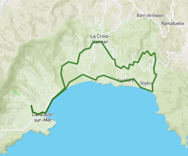
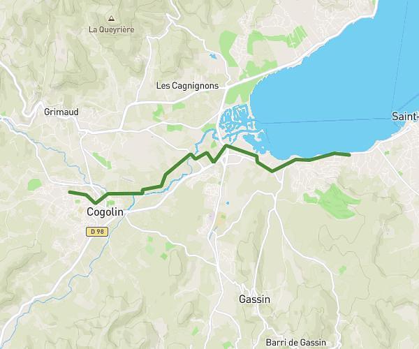
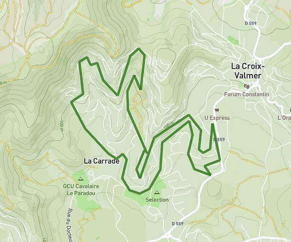
This running route covers 6.038mi starting from Cogolin, Var. The run is a loop trail and returns to the trailhead. This run is rated as moderate, expect about 1h5m to complete it. The route has an elevation gain of 430ft and an elevation loss of 433ft.
Ced a cogolin
Route details
5.57mph
Speed
743 kcal
Calories burned
Loop trail
Route type
20ft
Min altitude
167ft
Max altitude
Route profile
430ft
Elevation gain
433ft
Elevation loss
20ft
Min altitude
167ft
Max altitude
How to get there
Trailhead: 57 Domaine Vignes, 83310 Cogolin, France
GPS coordinates of the trailhead: 43.244987, 6.525596 / 43°14'41'' N, 6°31'32'' E