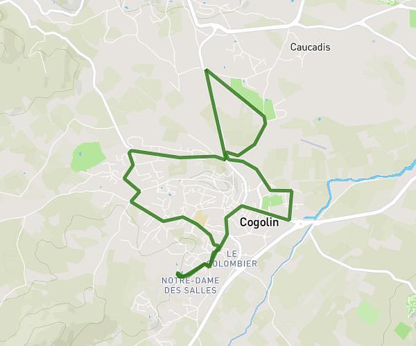
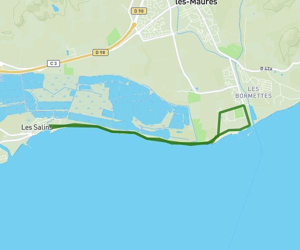
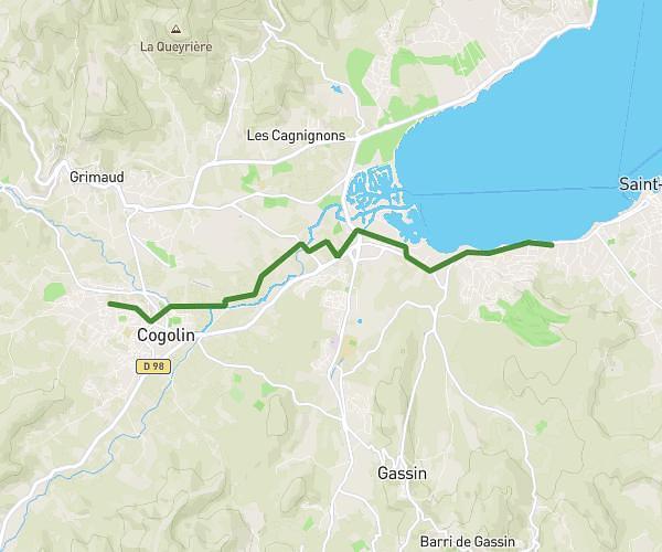
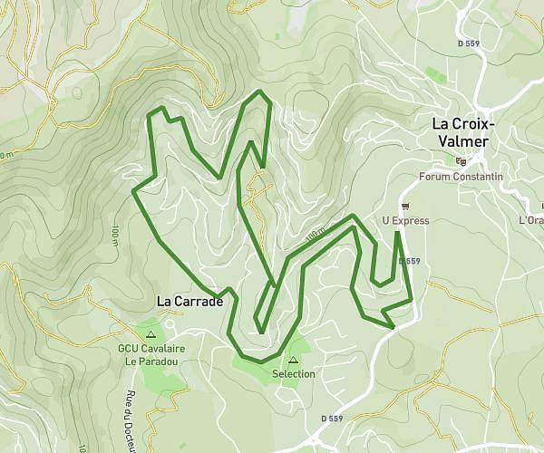
This running route covers 13.968mi starting from Cavalaire-sur-Mer, Var. The run is a loop trail and returns to the trailhead. This run is rated as strenuous, expect about 6s to complete it. The route has an elevation gain of 886ft and an elevation loss of 886ft.
Ronan
Route details
8381.05mph
Speed
1 kcal
Calories burned
Loop trail
Route type
13ft
Min altitude
397ft
Max altitude
Route profile
886ft
Elevation gain
886ft
Elevation loss
13ft
Min altitude
397ft
Max altitude
How to get there
Trailhead: Santa Barbara, 83240 Cavalaire-sur-Mer, France
GPS coordinates of the trailhead: 43.17751, 6.52468 / 43°10'39'' N, 6°31'28'' E