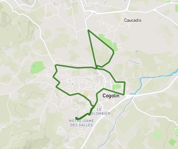
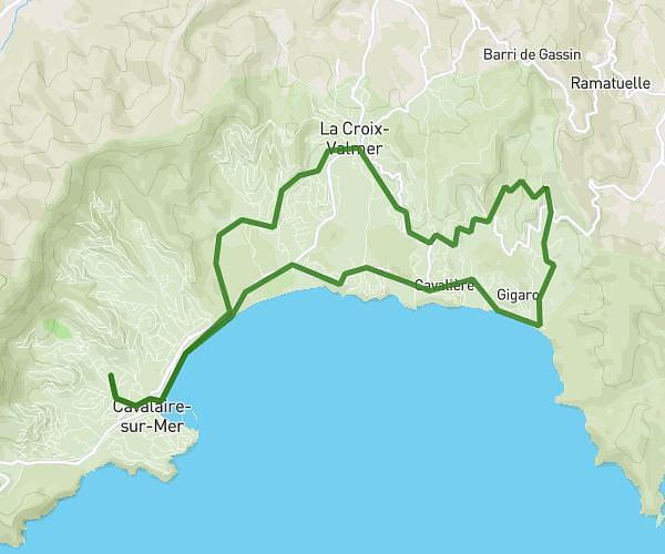
This running route covers 6.326mi starting from La Croix-Valmer, Var. The run is a loop trail and returns to the trailhead. This run is rated as moderate, expect about 55m to complete it. The route has an elevation gain of 935ft and an elevation loss of 948ft.
10km de La Croix Valmer
Route details
6.9mph
Speed
629 kcal
Calories burned
Loop trail
Route type
102ft
Min altitude
535ft
Max altitude
Route profile
935ft
Elevation gain
948ft
Elevation loss
102ft
Min altitude
535ft
Max altitude
How to get there
Trailhead: 38 Avenue Des Marsouins, 83420 La Croix-Valmer, France
GPS coordinates of the trailhead: 43.19985, 6.55382 / 43°11'59'' N, 6°33'13'' E