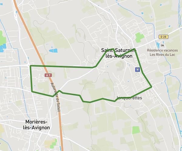
This running route covers 4.502mi starting from Châteauneuf-du-Pape, Vaucluse. The run is a loop trail and returns to the trailhead. This run is rated as easy, expect about 54m20s to complete it. The route has an elevation gain of 33ft and an elevation loss of 36ft.
Tour du camping
Route details
4.97mph
Speed
621 kcal
Calories burned
Loop trail
Route type
95ft
Min altitude
131ft
Max altitude
Route profile
33ft
Elevation gain
36ft
Elevation loss
95ft
Min altitude
131ft
Max altitude
How to get there
Trailhead: 185 Chemin Du Limas, 84230 Châteauneuf-du-Pape, France
GPS coordinates of the trailhead: 44.053, 4.82504 / 44°3'10'' N, 4°49'30'' E