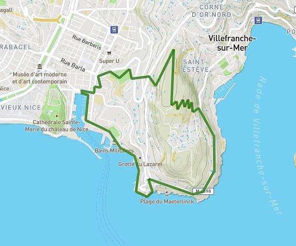
This running route covers 1.176mi starting from Biot, Alpes-Maritimes. The run is a loop trail and returns to the trailhead. This run is rated as easy, expect about 25m to complete it. The route has an elevation gain of 135ft and an elevation loss of 138ft.
CleanUp_2024_1
Route details
2.82mph
Speed
286 kcal
Calories burned
Loop trail
Route type
367ft
Min altitude
469ft
Max altitude
Route profile
135ft
Elevation gain
138ft
Elevation loss
367ft
Min altitude
469ft
Max altitude
How to get there
Trailhead: 200 Avenue Roumanille, 06410 Biot, France
GPS coordinates of the trailhead: 43.6181, 7.07535 / 43°37'5'' N, 7°4'31'' E