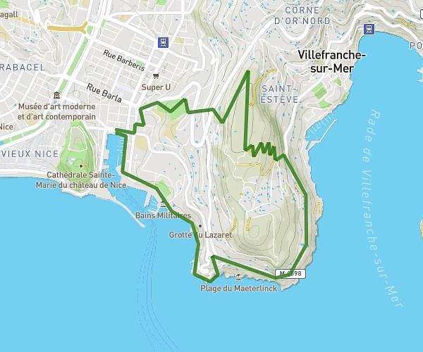
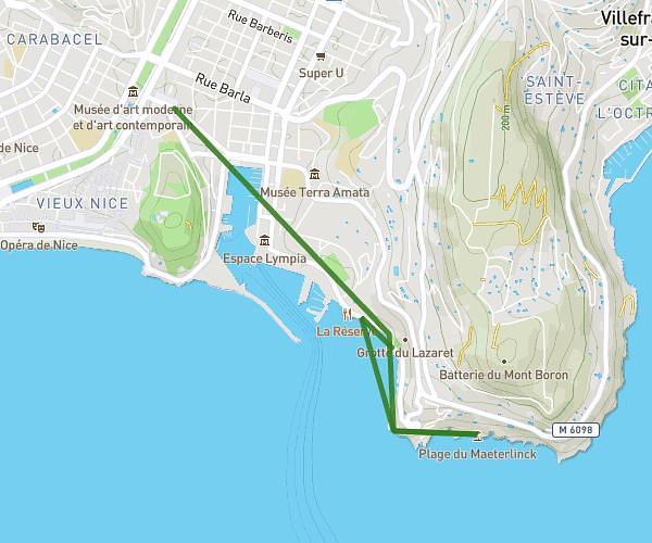
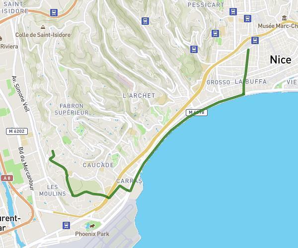
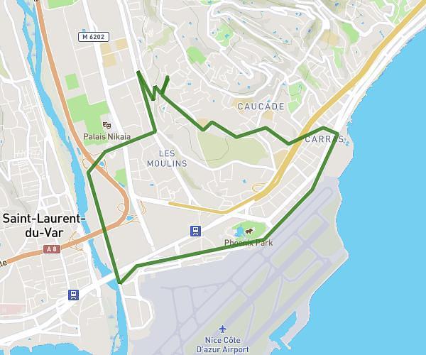
This running route covers 3.977mi starting from Nice, Alpes-Maritimes. The run is a loop trail and returns to the trailhead. This run is rated as easy, expect about 1h to complete it. The route has an elevation gain of 830ft and an elevation loss of 830ft.
Nice nord
Route details
3.98mph
Speed
686 kcal
Calories burned
Loop trail
Route type
223ft
Min altitude
951ft
Max altitude
Route profile
830ft
Elevation gain
830ft
Elevation loss
223ft
Min altitude
951ft
Max altitude
How to get there
Trailhead: 134 Boulevard De Cessole, 06100 Nice, France
GPS coordinates of the trailhead: 43.721265, 7.251226 / 43°43'16'' N, 7°15'4'' E