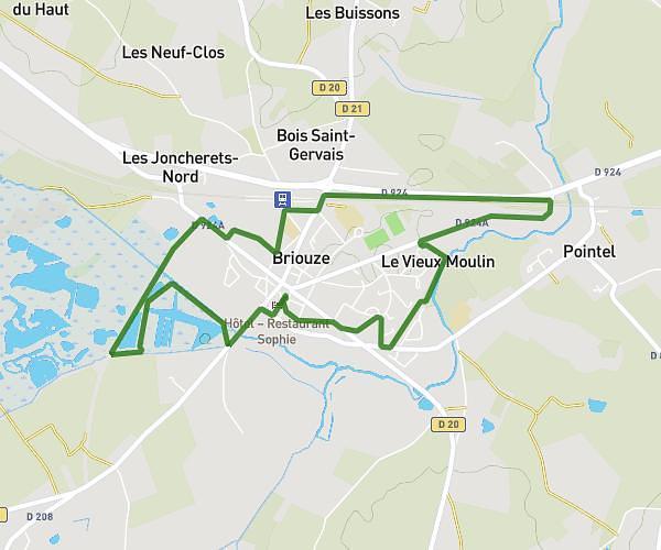
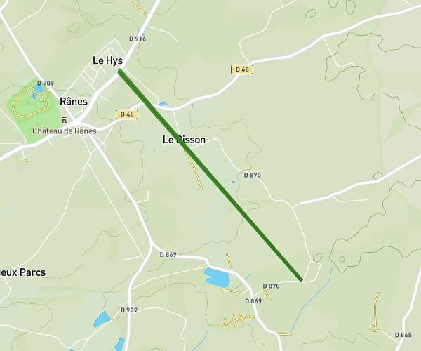
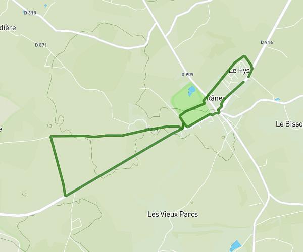
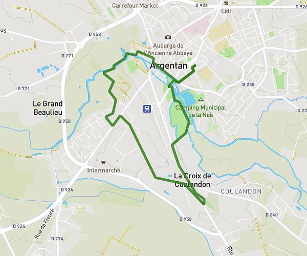
This running route covers 4.002mi starting from Lougé-sur-Maire, Orne. The run is a loop trail and returns to the trailhead. This run is rated as easy, expect about 52m to complete it. The route has an elevation gain of 85ft and an elevation loss of 98ft.
Lougé-sur-Maire
Route details
4.62mph
Speed
595 kcal
Calories burned
Loop trail
Route type
568ft
Min altitude
666ft
Max altitude
Route profile
85ft
Elevation gain
98ft
Elevation loss
568ft
Min altitude
666ft
Max altitude
How to get there
Trailhead: Route De La Tirardière, 61150 Lougé-sur-Maire, France
GPS coordinates of the trailhead: 48.69586, -0.22418 / 48°41'45'' N, 0°13'27'' W