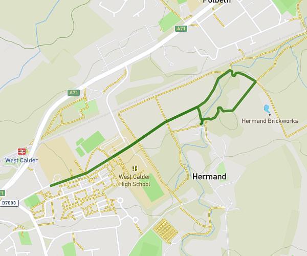
This walking route covers 5.948mi starting from Bathgate, Scotland. The walk is a loop trail and returns to the trailhead. This walk is rated as hard, plan for about 1h30m to complete it. The route has an elevation gain of 344ft and an elevation loss of 335ft.
Bathgate 9.6km
Route details
15:08/mi
Pace
368 kcal
Calories burned
Loop trail
Route type
420ft
Min altitude
764ft
Max altitude
Route profile
344ft
Elevation gain
335ft
Elevation loss
420ft
Min altitude
764ft
Max altitude
How to get there
Trailhead: Balmuir Road, EH48 4LL Bathgate
GPS coordinates of the trailhead: 55.90793, -3.65866 / 55°54'28'' N, 3°39'31'' W