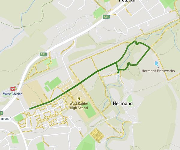
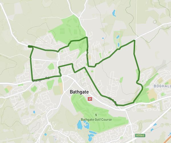
This walking route covers 5.17mi starting from Currie, Scotland. The walk is a loop trail and returns to the trailhead. This walk is rated as hard, plan for about 1h20m to complete it. The route has an elevation gain of 328ft and an elevation loss of 328ft.
School field WoL Kirk
Route details
15:28/mi
Pace
327 kcal
Calories burned
Loop trail
Route type
400ft
Min altitude
499ft
Max altitude
Route profile
328ft
Elevation gain
328ft
Elevation loss
400ft
Min altitude
499ft
Max altitude
How to get there
Trailhead: 9 Wintour Lane, Currie, EH14 6AY, United Kingdom
GPS coordinates of the trailhead: 55.89863, -3.29816 / 55°53'55'' N, 3°17'53'' W