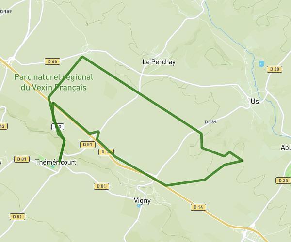
This running route covers 14.292mi starting from Montlignon, Val-d'Oise. The run is a loop trail and returns to the trailhead. This run is rated as strenuous, expect about 2h18m to complete it. The route has an elevation gain of 112ft and an elevation loss of 210ft.
Trail enfer 23
Route details
6.21mph
Speed
1578 kcal
Calories burned
Loop trail
Route type
354ft
Min altitude
561ft
Max altitude
Route profile
112ft
Elevation gain
210ft
Elevation loss
354ft
Min altitude
561ft
Max altitude
How to get there
Trailhead: Chemin De Montlignon Au Château, 95680 Montlignon, France
GPS coordinates of the trailhead: 49.02694, 2.29515 / 49°1'36'' N, 2°17'42'' E