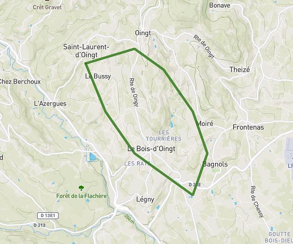
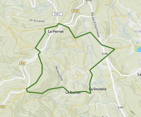
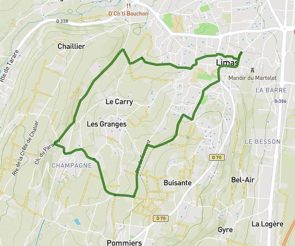
This running route covers 8.498mi starting from Cublize, Rhône. The run is a loop trail and returns to the trailhead. This run is rated as hard, expect about 3h5m to complete it. The route has an elevation gain of 262ft and an elevation loss of 240ft.
Boucle Cublize 13,6 km
Route details
2.76mph
Speed
2115 kcal
Calories burned
Loop trail
Route type
1417ft
Min altitude
1680ft
Max altitude
Route profile
262ft
Elevation gain
240ft
Elevation loss
1417ft
Min altitude
1680ft
Max altitude
How to get there
Trailhead: 265 Allée De La Fécule, 69550 Cublize, France
GPS coordinates of the trailhead: 46.011439, 4.376139 / 46°0'41'' N, 4°22'34'' E