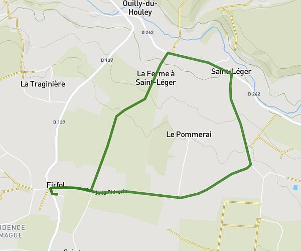
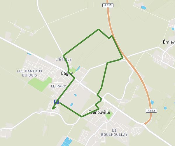
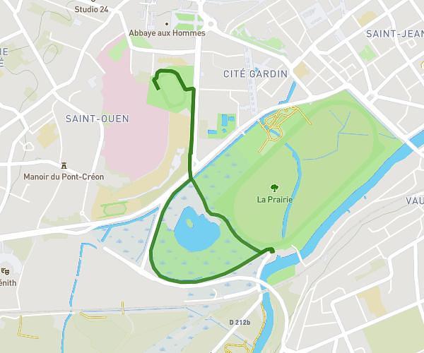
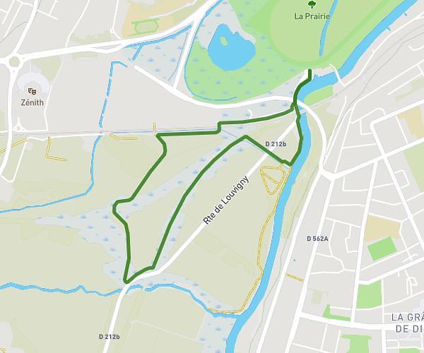
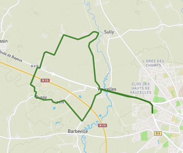
This running route covers 9.165mi starting from Saint-Pierre-en-Auge, Calvados. The run is a loop trail and returns to the trailhead. This run is rated as hard, expect about 1h38m to complete it. The route has an elevation gain of 16ft and an elevation loss of 39ft.
15km thieville
Route details
5.61mph
Speed
1120 kcal
Calories burned
Loop trail
Route type
89ft
Min altitude
112ft
Max altitude
Route profile
16ft
Elevation gain
39ft
Elevation loss
89ft
Min altitude
112ft
Max altitude
How to get there
Trailhead: Chemin Des Grumiers, 14170 Saint-Pierre-en-Auge, France
GPS coordinates of the trailhead: 49.032419, -0.035164 / 49°1'56'' N, 0°2'6'' W