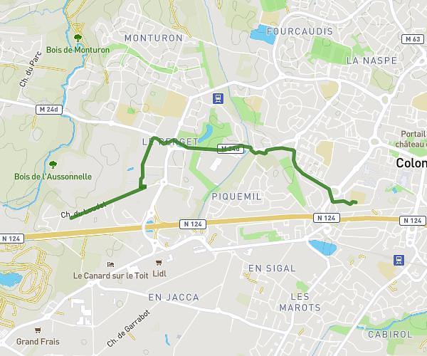
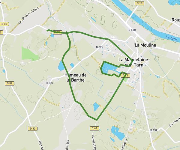
This walking route covers 2.109mi starting from Colomiers, Haute-Garonne. The walk does not return to the trailhead and ends near 81 Allée Du Comminges, 31770 Colomiers, France. This walk is rated as easy, plan for about 45m to complete it. The route has an elevation gain of 141ft and an elevation loss of 141ft.
Collège Voltaire
Route details
21:19/mi
Pace
184 kcal
Calories burned
Point to point
Route type
587ft
Min altitude
614ft
Max altitude
Route profile
141ft
Elevation gain
141ft
Elevation loss
587ft
Min altitude
614ft
Max altitude
How to get there
Trailhead: 12 Chemin Du Loudet, 31770 Colomiers, France
GPS coordinates of the trailhead: 43.607374, 1.296913 / 43°36'26'' N, 1°17'48'' E