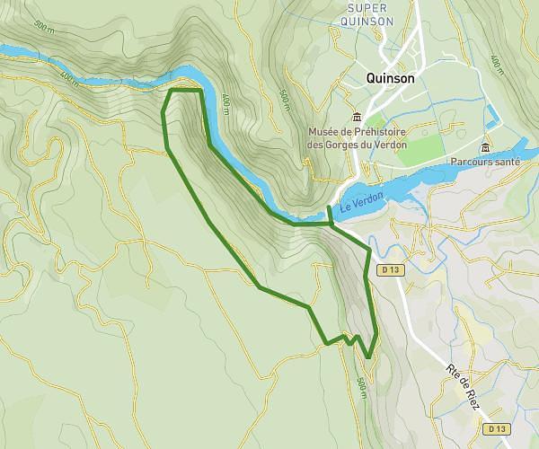
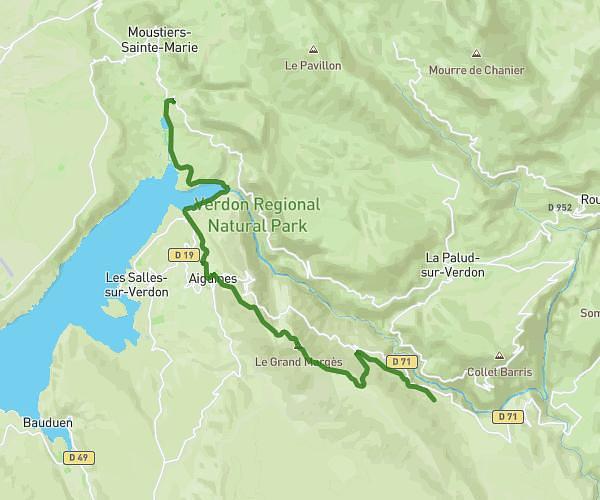
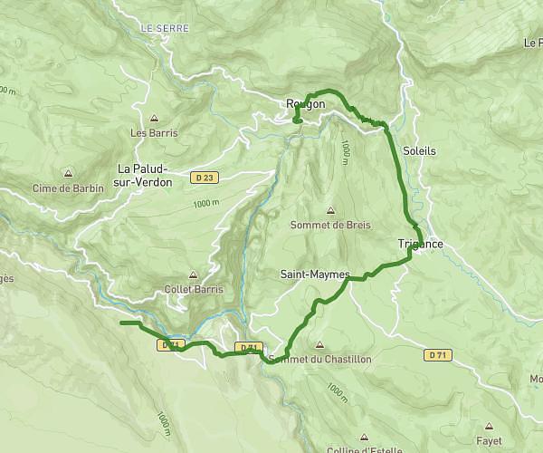
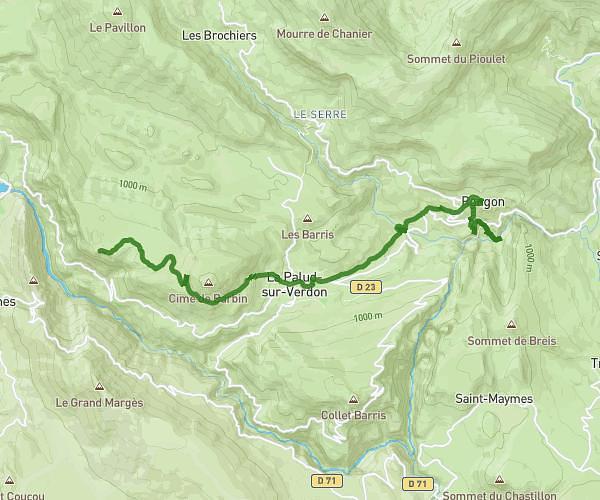
This hiking trail covers 45.445mi starting from Moustiers-Sainte-Marie, Alpes-de-Haute-Provence. The hike is a loop trail and returns to the trailhead. This hike is rated as strenuous, plan for about to complete it. The route has an elevation gain of 9649ft and an elevation loss of 9626ft.
verdon
Route details
1.86mph
Speed
8.0%
Avg grade
Loop trail
Route type
1568ft
Min altitude
5062ft
Max altitude
Steep climb
Route profile
9649ft
Elevation gain
9626ft
Elevation loss
1568ft
Min altitude
5062ft
Max altitude
How to get there
Trailhead: Route De Castellane, 04360 Moustiers-Sainte-Marie
GPS coordinates of the trailhead: 43.82784, 6.22756 / 43°49'40'' N, 6°13'39'' E