MapPlanner
3.416mi
Distance
1h36m
Duration
+951ft
Elevation gain
-965ft
Elevation loss
Moderate
Level

quinson

Route details

2.14mph
Speed
731 kcal
Calories burned
10.6%
Avg grade
Loop trail
Route type
1204ft
Min altitude
1795ft
Max altitude
Steep climb

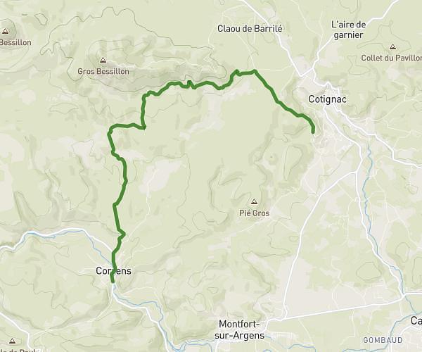
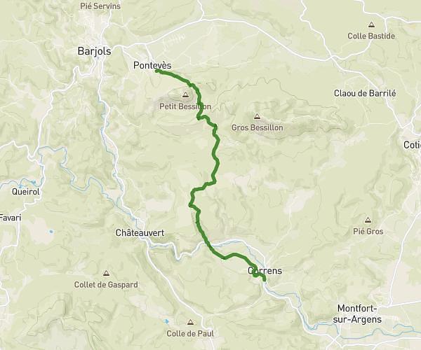
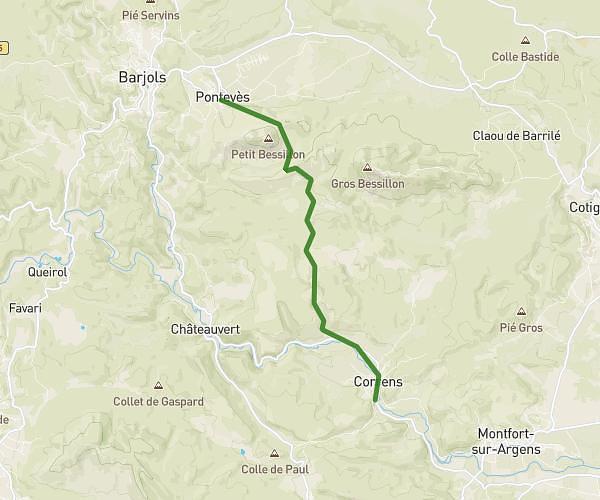
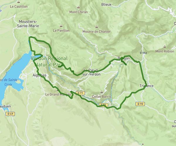
This hiking trail covers 3.416mi starting from Montmeyan, Var. The hike is a loop trail and returns to the trailhead. This hike is rated as moderate, plan for about 1h36m to complete it. The route has an elevation gain of 951ft and an elevation loss of 965ft.

Route profile

951ft
Elevation gain
965ft
Elevation loss
1204ft
Min altitude
1795ft
Max altitude

How to get there

Trailhead: D 13, 83670 Montmeyan, France

GPS coordinates of the trailhead: 43.693611, 6.035158 / 43°41'36'' N, 6°2'6'' E

Caution: May Cross Private Property

This route may pass through or near private property. Always respect posted signs, obtain permission where required, and follow local trespassing laws. MapPlanner does not guarantee public access along any route.

Safety Notice

Trail and road conditions may change without notice due to weather, construction, or other factors. Always verify current conditions before heading out. You are responsible for your own safety — follow local signage, obey traffic laws, and use your best judgment on the trail.