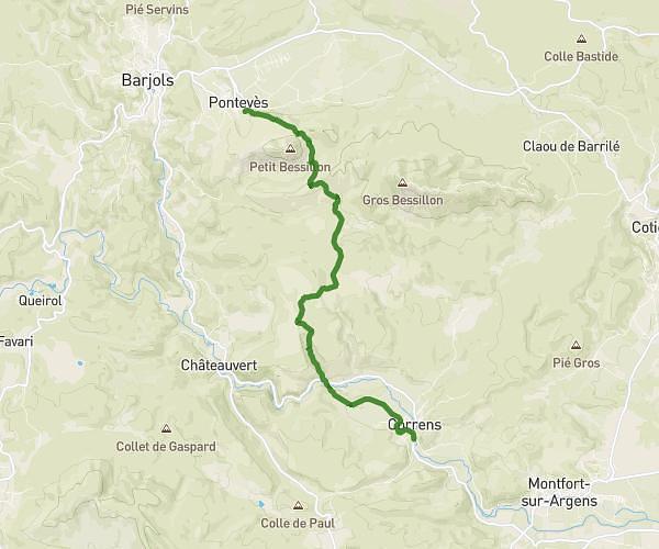
This hiking trail covers 8.114mi starting from Correns, Var. The hike does not return to the trailhead and ends near 4398 Chemin De Barrette Neuve, 83570 Cotignac, France. This hike is rated as hard, plan for about 47m to complete it. The route has an elevation gain of 1631ft and an elevation loss of 1122ft.
Correns/cotignac
Route details
10.36mph
Speed
350 kcal
Calories burned
6.4%
Avg grade
Point to point
Route type
531ft
Min altitude
1529ft
Max altitude
Route profile
1631ft
Elevation gain
1122ft
Elevation loss
531ft
Min altitude
1529ft
Max altitude
How to get there
Trailhead: 16 Rue De La Condamine, 83570 Correns, France
GPS coordinates of the trailhead: 43.485164, 6.080738 / 43°29'6'' N, 6°4'50'' E