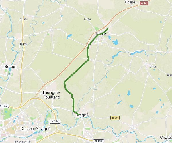
This cycling route covers 25.707mi starting from Le Theil-de-Bretagne, Ille-et-Vilaine. The ride is a loop trail and returns to the trailhead. This route is rated as moderate, plan for about 1h31m to complete it. The route has an elevation gain of 194ft and an elevation loss of 174ft.
Velo de route
Route details
806 kcal
Calories burned
0.3%
Avg grade
Loop trail
Route type
154ft
Min altitude
266ft
Max altitude
Route profile
194ft
Elevation gain
174ft
Elevation loss
154ft
Min altitude
266ft
Max altitude
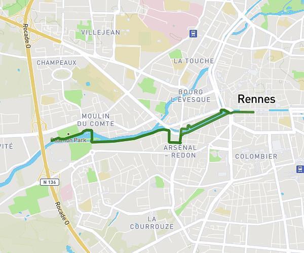
How to get there
Trailhead: 19 Rue Du Clos Saint-Hubert, 35240 Le Theil-de-Bretagne, France
GPS coordinates of the trailhead: 47.91883, -1.42451 / 47°55'7'' N, 1°25'28'' W