MapPlanner
8.1mi
Distance
49m
Duration
9.92mph
Speed
+279ft
Elevation gain
-69ft
Elevation loss
Easy
Level

Acigné / maro 35

Route details

432 kcal
Calories burned
0.8%
Avg grade
Point to point
Route type
115ft
Min altitude
338ft
Max altitude

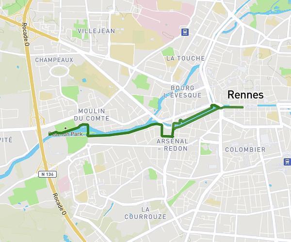
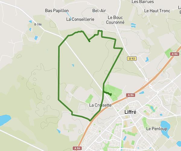
This cycling route covers 8.1mi starting from Acigné, Ille-et-Vilaine. The ride does not return to the trailhead and ends near D 92, 35340 Liffré. This route is rated as easy, plan for about 49m to complete it. The route has an elevation gain of 279ft and an elevation loss of 69ft.

Route profile

279ft
Elevation gain
69ft
Elevation loss
115ft
Min altitude
338ft
Max altitude

How to get there

Trailhead: Avenue Abbé Barbedet, 35690 Acigné

GPS coordinates of the trailhead: 48.13387, -1.5391 / 48°8'1'' N, 1°32'20'' W

Caution: May Cross Private Property

This route may pass through or near private property. Always respect posted signs, obtain permission where required, and follow local trespassing laws. MapPlanner does not guarantee public access along any route.

Safety Notice

Trail and road conditions may change without notice due to weather, construction, or other factors. Always verify current conditions before heading out. You are responsible for your own safety — follow local signage, obey traffic laws, and use your best judgment on the trail.