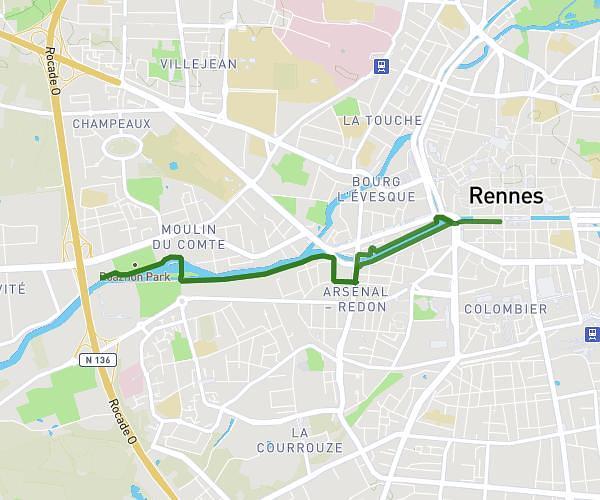
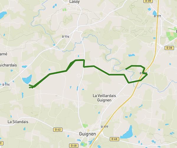
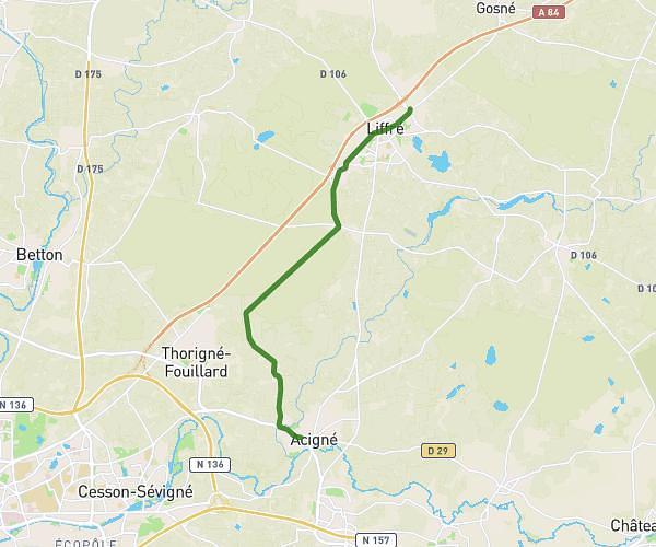
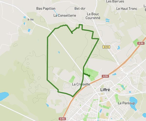
This cycling route covers 2.688mi starting from Parthenay-de-Bretagne, Ille-et-Vilaine. The ride is a loop trail and returns to the trailhead. This route is rated as easy, plan for about 25m57s to complete it. The route has an elevation gain of 135ft and an elevation loss of 135ft.
Parthenay de Bretagne
Route details
230 kcal
Calories burned
1.9%
Avg grade
Loop trail
Route type
246ft
Min altitude
335ft
Max altitude
Route profile
135ft
Elevation gain
135ft
Elevation loss
246ft
Min altitude
335ft
Max altitude
How to get there
Trailhead: Rue Du Closel, 35850 Parthenay-de-Bretagne
GPS coordinates of the trailhead: 48.1927, -1.82966 / 48°11'33'' N, 1°49'46'' W